What is recorded here
In level pasture. Circular area (diam. c. 32m) defined by scarped edge (H 1m; Wth 1.8m). Outside this and concentric with it is earthen bank (int. H 1.35m; ext. H 0.8m). Distance between banks is 8.4m; this area is slightly lower than interior and surrounding field level. Outer bank truncated by field boundary SE->SW. Field clearance debris dumped around perimeter of site. Interior slopes gently up from centre to edges, and is largely covered by dense overgrowth.
Compiled by: Denis Power
Date of upload: 26 August 2011
The monument record does not grant public access. Check the route and ask the landowner before entering private land.
- What survives
- Recorded monument
Places near here
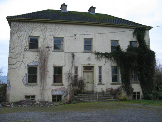 Odell Villecountry house · 695 yd
 Glebe Houserectory/glebe/vicarage/curate's house · 1397 yd
 Enclosure in Kilmihil (connello Upper By.)Enclosure · 1461 yd
 Holy well in CloontempleHoly well · 1518 yd
 Hachured (1923).Castle, motte · 1.2 mi
 Castle (in ruins)Castle, tower house · 1.6 mi
 Famine stoneMemorial · 2.1 mi
 Lady's WellSpring · 2.2 mi
 Sunday WellSpring · 2.3 mi
 KnockfeerinaMountain / peak · 2.7 mi
 European ashEuropean ash · 4.1 mi
 Flat cemetery in Kiltenan SouthFlat cemetery · 4.6 mi