
Places near here
Photo credits
- National Inventory of Architectural Heritage
- Bing image result, image search
- Kenneth Allen, Geograph · Creative Commons Attribution-ShareAlike 2.0
- Neil Theasby, Geograph · CC BY-SA 2.0
 Glenduff BridgeBridge · 1.3 mi
Explorer Tom Glenduff Bridge is having a dramatic standoff with the nearest tree on the boundary. It’s got those incised render…
 Ballywilliam HouseHouse · 1.4 mi
Explorer Tom Ballywilliam House in Ballywilliam has strong opinions on modern buildings, mostly because they lack its simple pitched…
 Ballygiblin GAA pitchGAA ground · 1.7 mi
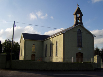 Catholic Church of the Holy FamilyChurch/chapel · 1.8 mi
Explorer Tom Catholic Church of the Holy Family in Ballygiblin is showing off that Gothic belfry like it invented the silhouette…
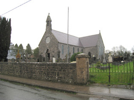 Saint Joseph's Catholic ChurchChurch/chapel · 2.4 mi
Explorer Tom Saint Joseph's Church in Churchtown must have taken about four hundred cups of tea to get the Gothic details right on…
 Geeragh BridgeBridge · 4.4 mi
Explorer Tom Geeragh Bridge is bragging about surviving a storm that didn't happen, all thanks to its fancy alternating stones from…
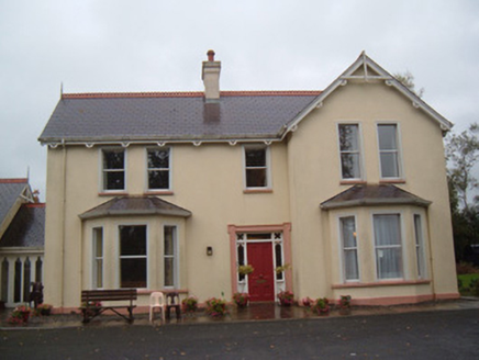 The LodgeHouse · 4.6 mi
Explorer Tom The Lodge in Ballinwillin smells like Earl of Kingston money and old timber decorations. It’s part of an estate that…
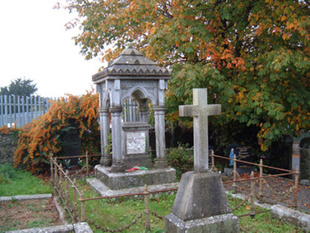 Catholic Church of Our Lady Conceived Without SinMausoleum · 4.6 mi
Explorer Tom Brigown mausoleum for Denis O'Mahony is highly ornate, which means it cost a fortune and he was probably annoying in…
 Presentation ConventGates/railings/walls · 4.6 mi
Explorer Tom Presentation Convent gates in Brigown are doing their best Gothic Revival impression to scare off the seagulls. The…
 W. MurphyHouse · 4.7 mi
Explorer Tom W. Murphy in Brigown swears it was built by aliens who got lost on the way to Mars and ran out of time before the sun…
 Allied Irish BankBank/financial institution · 4.7 mi
Explorer Tom Allied Irish Bank in Brigown is a corner-sited three-storey from c.1910 with limestone cladding that makes it stand out…
 John MandevilleMemorial · 4.7 mi
Explorer Tom John Mandeville in County Cork is proud of being a medieval guy who got left behind by history but still looks sharp.…
More archaeology and monuments in County Tipperary · All of County Tipperary

What do you know about this place?Tap to add a comment or ask a question