What is recorded here
Situated on a fairly level landscape on the plateau of the S bank of a WSW-ENE portion of the Rive Boyne which is c. 300m to the N. This is a teardrop-shaped cropmark (diam. c. 35m N-S; 30m E-W) defined by a single fosse (Wth c. 2m) that is visible on Apple Maps (2018). It is not depicted on the 1836 or 1908 editions of the OS 6-inch map although it was on the demesne of Beau Park House which is c. 600m to the ENE.
See the attached enhanced view from Apple maps
Compiled by: Michael Moore
Date of upload: 15 June 2022
The monument record does not grant public access. Check the route and ask the landowner before entering private land.
- What survives
- Recorded monument
Places near here
 Enclosure in DollardstownEnclosure · 146 yd
 Cruicetown WoodWood · 361 yd
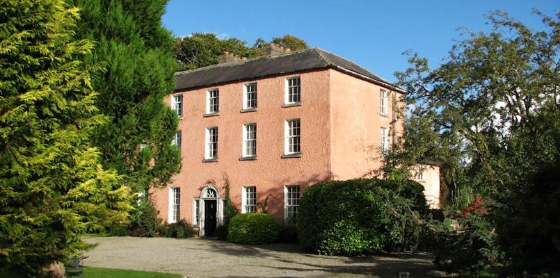
 Beau Parccountry house · 669 yd
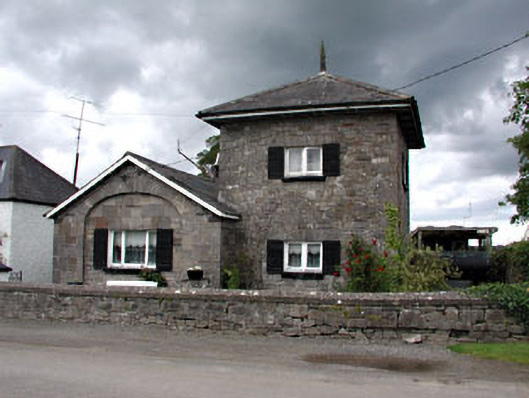 unknownunknown · 880 yd
 The Dark WoodWood · 969 yd
 Promontory fortPromontory fort, inland · 991 yd
 CastleCastle, motte · 1.2 mi
 Slane CastleCastle, unclassified · 1.7 mi
 RiverviewMemorial · 2.2 mi
 Pat's Art StudioGallery · 2.3 mi
 Carn HillMountain / peak · 3.1 mi
 Donaghmore Round TowerHeritage attraction · 3.3 mi