What is recorded here
Situated on a fairly level landscape on the plateau of the S bank of a WSW-ENE portion of the Rive Boyne which is c. 170m to the N. This is a circular cropmark (diam. c. 25m N-S; 25m E-W) defined by a single slight fosse that is visible on Apple Maps (2018). It is just E of the small enclosed copse depicted on the 1836 edition of the OS 6-inch map when it was on the demesne of Beau Park House which is c. 450m to the ENE. A single tree survives at the E edge of the copse with the cropmark of its perimeter ditch at W visible on Apple Maps (2018). The enclosure is not visible on other aerial images, and it was first reported by Jean Charles Caillere.
See the attached enhanced view from Apple Maps (2018)
Compiled by: Michael Moore
Date of upload: 24 June 2021
The monument record does not grant public access. Check the route and ask the landowner before entering private land.
- What survives
- Recorded monument
Places near here
 Cruicetown WoodWood · 300 yd
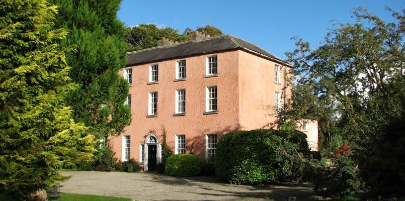
 Beau Parccountry house · 523 yd
 Church in CarrickdexterChurch · 811 yd
 Promontory fortPromontory fort, inland · 846 yd
 The Dark WoodWood · 847 yd
 Baronstown CrossCross, Wayside cross · 1462 yd
 CastleCastle, motte · 1.2 mi
 Slane CastleCastle, unclassified · 1.6 mi
 RiverviewMemorial · 2.1 mi
 Pat's Art StudioGallery · 2.2 mi
 Carn HillMountain / peak · 3.1 mi
 Donaghmore Round TowerHeritage attraction · 3.4 mi
Other information
Photo: Credit not shown in the picture search · Rights wording not checked; contact us if this picture should be removed