
What is recorded here
The following description is derived from the published 'Archaeological Inventory of County Meath' (Dublin: Stationery Office, 1987). In certain instances the entries have been revised and updated in the light of recent research.
Date of upload/revision: 10 July 2007
Semicircular area, backing onto cliff c. 30m high, defined by scarp (diam. 52m NE-SW). Raised rectangular area (dims. 24m NNW-SSE, 19m ENE-WSW ) defined by scarp, in centre. Entrance may have been at WSW.
The monument record does not grant public access. Check the route and ask the landowner before entering private land.
- What survives
- Recorded monument
Places near here
 Carrickdexter WoodWood · 89 yd
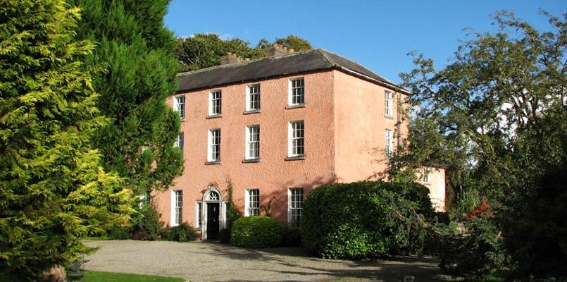
 Beau Parccountry house · 323 yd
 Church in CarrickdexterChurch · 388 yd
 Rock WoodWood · 577 yd
 Enclosure in DollardstownEnclosure · 846 yd
 Baronstown CrossCross, Wayside cross · 984 yd
 CastleCastle, motte · 1555 yd
 Slane CastleCastle, unclassified · 1.2 mi
 RiverviewMemorial · 1.6 mi
 Pat's Art StudioGallery · 1.7 mi
 KnowthArchaeological place · 3.5 mi
 Carn HillMountain / peak · 3.6 mi
Other information
Photo: Credit not shown in the picture search · Rights wording not checked; contact us if this picture should be removed