What is recorded here
Situated in a gently undulating landscape. The cropmark of an oval enclosure (dims c. 70m ENE-WSW; c. 50m NNW-SSE) defined by a single fosse is visible on Google Earth (27/06/2019; 17/03/2022; 03/04/2022). It is also visible on Bing images and it was first reported by Jean Charles Caillére.
See the attached enhanced view from Google Earth (17/03/2022)
Compiled by: Michael Moore
Date of upload: 25 January 2023
The monument record does not grant public access. Check the route and ask the landowner before entering private land.
- What survives
- Recorded monument
Places near here
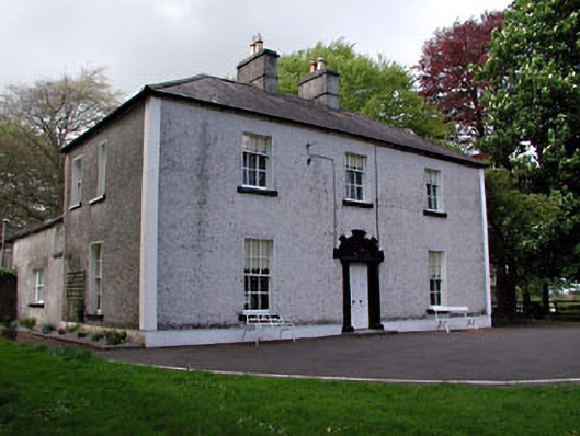 Fosterstown Housecountry house · 871 yd
 Enclosure in Manorland (2nd Division)Enclosure · 1538 yd
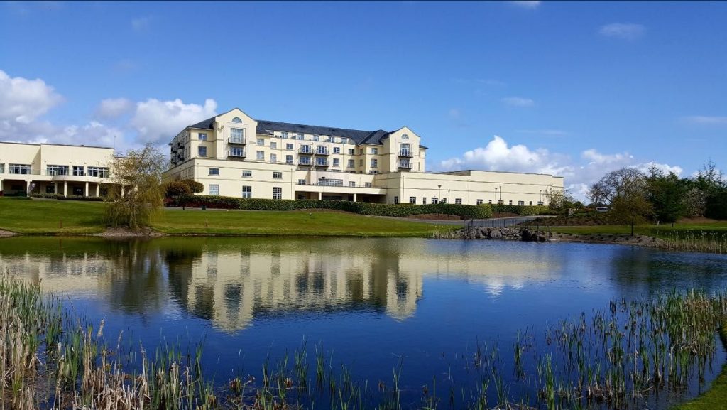 IndicatedFairy fort / earthen ringfort · 1669 yd
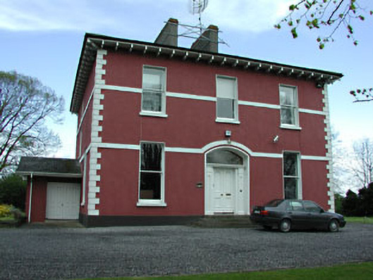 Mornington Househouse · 1671 yd
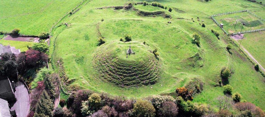 CastleCastle, motte · 1.1 mi
 Trim CastleCastle, Anglo-Norman masonry castle · 1.3 mi
 Saints IslandForest · 3.0 mi
 Wych ElmWych Elm · 4.4 mi
 Old Bog Road made famous by Teresa Bryton 1868-1943Memorial · 8.2 mi
 Kilgar GardensHeritage attraction · 8.3 mi
 Cloncurry GraveyardHeritage attraction · 8.4 mi
 MullaghMountain / peak · 8.9 mi