What is recorded here
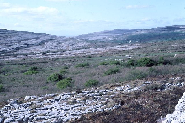
Situated in rough but improved pasture in the Caher Valley, c. 300m to the E of the Caher River. Overlooked by karst uplands from E and W, with views along the valley to the NW. On inspection in 1999 a possible annexe defined by a low earthen bank was noted against the SW exterior of a cashel (CL005-007----). It is visible on a Google Earth orthophoto taken 20 March 2020.
Compiled by: Mary Tunney
Date of upload: 22 September 2021
The monument record does not grant public access. Check the route and ask the landowner before entering private land.
- What survives
- Recorded monument
Places near here
 Derrynavahagh CaherFairy fort / stone ringfort · 26 yd
 IndicatedEnclosure · 43 yd
 Formoyle R.C. ChapelChurch · 708 yd
 Slieve ElvaMountain / peak · 1.9 mi
 CappanawallaMountain / peak · 2.0 mi
 Faunarooska Castle (in ruins)Castle, tower house · 2.1 mi
 Rathborney Church (in ruins)Church · 2.2 mi
 FaunarooskaCave · 2.3 mi
 Cullaun 1Cave · 2.3 mi
 Gregan CastleCastle · 2.4 mi
 Fanore BeachBeach / strand · 2.7 mi
 Bird Of Prey CentreHeritage attraction · 3.6 mi