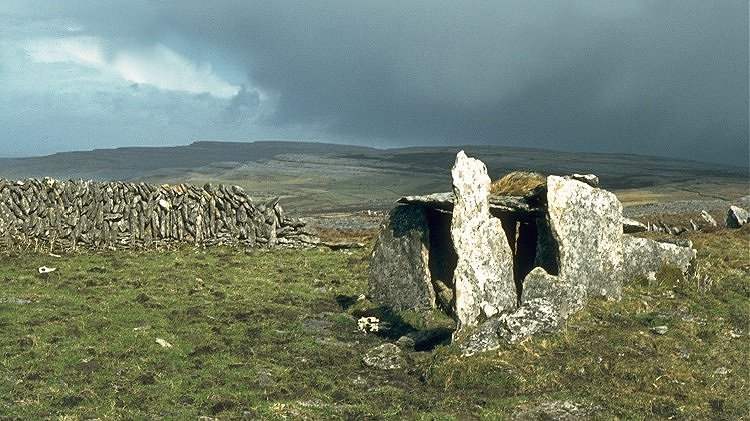
What is recorded here
Situated in rough but improved pasture in the Caher valley, on the W. slope of a ridge. A small subcircular enclosure (int. dims. 12m E-W; 11m N-S) defined by a bank (av. Wth 2m; int. H 0.6-0.8m; ext. H 0.2-0.5m) of stone and earth with no evidence of facing or for an entrance. The interior is flat and featureless. A later field wall runs along it from SE-WSW. A cashel (CL005-007----) with a small southwestern annexe (CL005-007002-) is located 30m to the E.
Compiled by: Mary Tunney, Olive Alcock and Ros Ó Maoldúin
Date of upload: 29 September 2021
The monument record does not grant public access. Check the route and ask the landowner before entering private land.
- What survives
- Recorded monument
Places near here
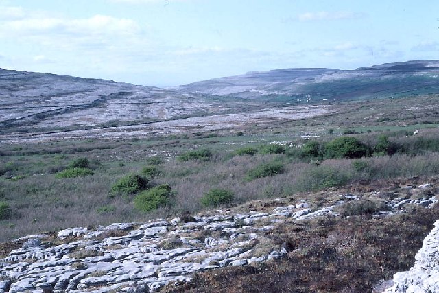 Derrynavahagh CaherFairy fort / stone ringfort · 69 yd
 Formoyle R.C. ChapelChurch · 699 yd
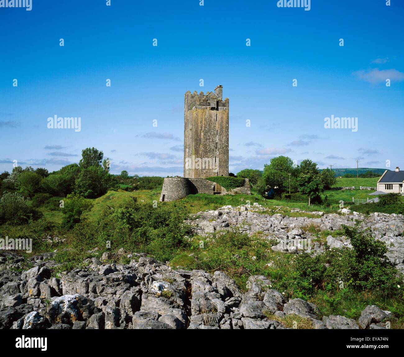 Enclosure in Formoyle EastEnclosure · 920 yd
 Slieve ElvaMountain / peak · 1.9 mi
 CappanawallaMountain / peak · 2.0 mi
 Faunarooska Castle (in ruins)Castle, tower house · 2.1 mi
 Rathborney Church (in ruins)Church · 2.2 mi
 FaunarooskaCave · 2.3 mi
 Cullaun 1Cave · 2.3 mi
 Gregan CastleCastle · 2.4 mi
 Fanore BeachBeach / strand · 2.7 mi
 Bird Of Prey CentreHeritage attraction · 3.6 mi
Other information
Photo: Credit not shown in the picture search · Rights wording not checked; contact us if this picture should be removed