What is recorded here
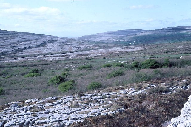
Situated in rough but improved pasture in the Caher valley, c. 300m to the E of the Caher River. Overlooked by karst uplands from E and W, with views along the valley to the NW. Hachured and named ‘Derrynavahagh Caher’ on the 1840 and 1916 eds. of the OS 6-inch map, although the hachuring on the 1840 ed. is placed c. 30m to the W. A subcircular cashel (33m E-W; 32m N-S) defined by a bank of stone and earth (Wth 2.4-3.1m; H 0.7-1.3m) with some external facing surviving at the base on the E side. A possible entrance (Wth 1.6m) is located at the SE and a possible annexe (CL005-007002-) abuts the cashel to the SW. Westropp (1901, 17) noted that on three occasions he did not succeed in finding this cashel.
A small enclosure (CL005-007003-) lies c. 37m to the W. A holy well named ‘Toberlonaun’ or Tobair Lónain’ (CL005-009----) is located c. 150m to the ESE.
Compiled by: Mary Tunney, Olive Alcock and Ros Ó Maoldúin
Date of upload: 29 September 2021
Derrynavahagh Caher is a ringfort, likely dating to the early medieval period, situated in a pastoral landscape in the Caher valley. Local tradition and the name suggest possible associations with fairy folklore, common in such sites across Ireland.
The monument record does not grant public access. Check the route and ask the landowner before entering private land.
- What survives
- Recorded monument
Places near here
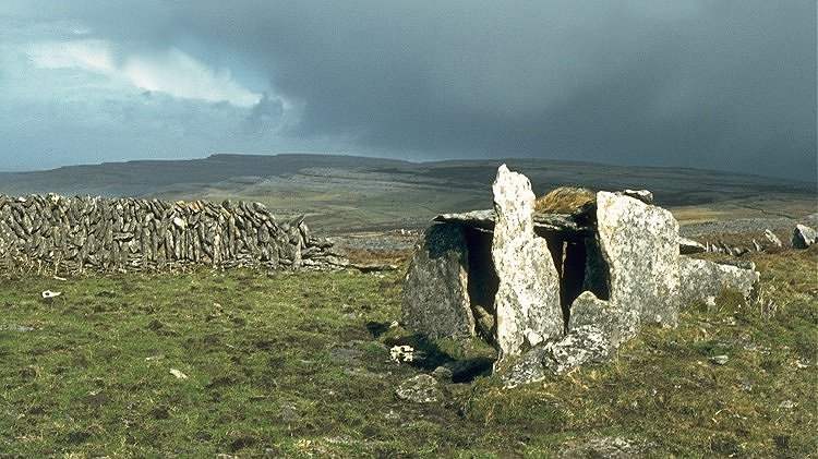 IndicatedEnclosure · 69 yd
 Formoyle R.C. ChapelChurch · 717 yd
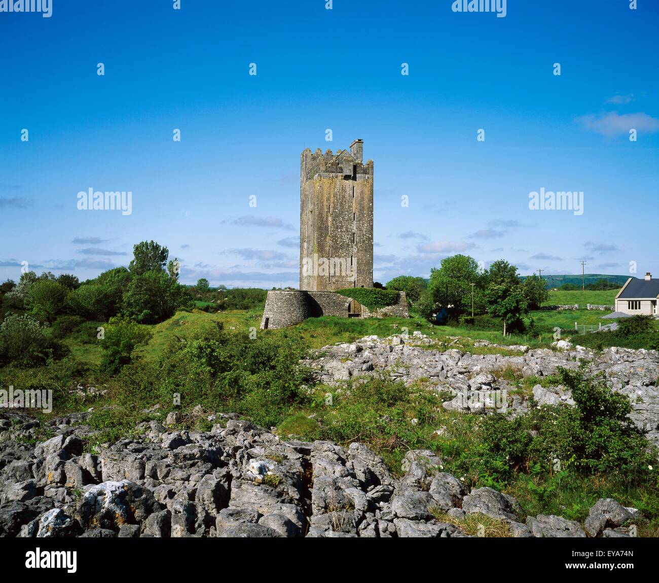 Enclosure in Formoyle EastEnclosure · 871 yd
 Slieve ElvaMountain / peak · 1.9 mi
 CappanawallaMountain / peak · 2.0 mi
 Faunarooska Castle (in ruins)Castle, tower house · 2.1 mi
 Rathborney Church (in ruins)Church · 2.2 mi
 FaunarooskaCave · 2.3 mi
 Cullaun 1Cave · 2.3 mi
 Gregan CastleCastle · 2.3 mi
 Fanore BeachBeach / strand · 2.7 mi
 Bird Of Prey CentreHeritage attraction · 3.6 mi
Other information
Photo: Credit not shown in the picture search · Rights wording not checked; contact us if this picture should be removed