What is recorded here
In area of trees and overgrowth and largely inaccessible. Circular area (map diam. c. 40m) defined by steep inner scarp (Wth 4.5m; H 2.45m), intervening fosse (basal Wth 2.5m; total Wth 11.3m; D 1.5m) and outer bank (Wth 6.85m; int. H 2.2m; ext. H 0.7m). Possible entrance (Wth 4.5m) visible through outer bank at ESE and similar breach at SE. Defined by trees to SE and SW, fence to NW and wall to ENE, where monument is truncated by road. Some disturbance around exterior to SSE.
Compiled by: Jean Farrelly
Date of upload: 26 August 2011
The monument record does not grant public access. Check the route and ask the landowner before entering private land.
- What survives
- Recorded monument
Places near here
 Rathcool Church (in ruins)Church · 962 yd
 IndicatedCastle, motte · 1071 yd
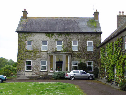 Rathcoole Castlehouse · 1084 yd
 Enclosure in AnnesgiftEnclosure · 1244 yd
 Settlement desertedSettlement deserted, medieval · 1745 yd
 Barrettstown CastleCastle · 1.0 mi
 European YewEuropean Yew · 1.8 mi
 Kilknockan HillMountain / peak · 1.8 mi
 East GateMemorial · 1.9 mi
 Grove WoodForest · 2.8 mi
 Eagle HillMountain / peak · 6.1 mi
 Derryluskan Househouse · 1174 yd