What is recorded here
Not visible at ground level. Aerial photographs (Air Corps 757) shows outline of possible circular enclosure.
The above description is derived from the published 'Archaeological Inventory of County Offaly' (Dublin: Stationery Office, 1997). In certain instances the entries have been revised and updated in the light of recent research.
Date of upload: 23 May 2011
The monument record does not grant public access. Check the route and ask the landowner before entering private land.
- What survives
- Recorded monument
Places near here
 Derrykeel WoodWood · 380 yd
 Enclosure in DerrykeelEnclosure · 1104 yd
 Saint Dominick's WellSpring · 1548 yd
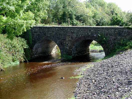 Breaghmore Bridgebridge · 1.2 mi
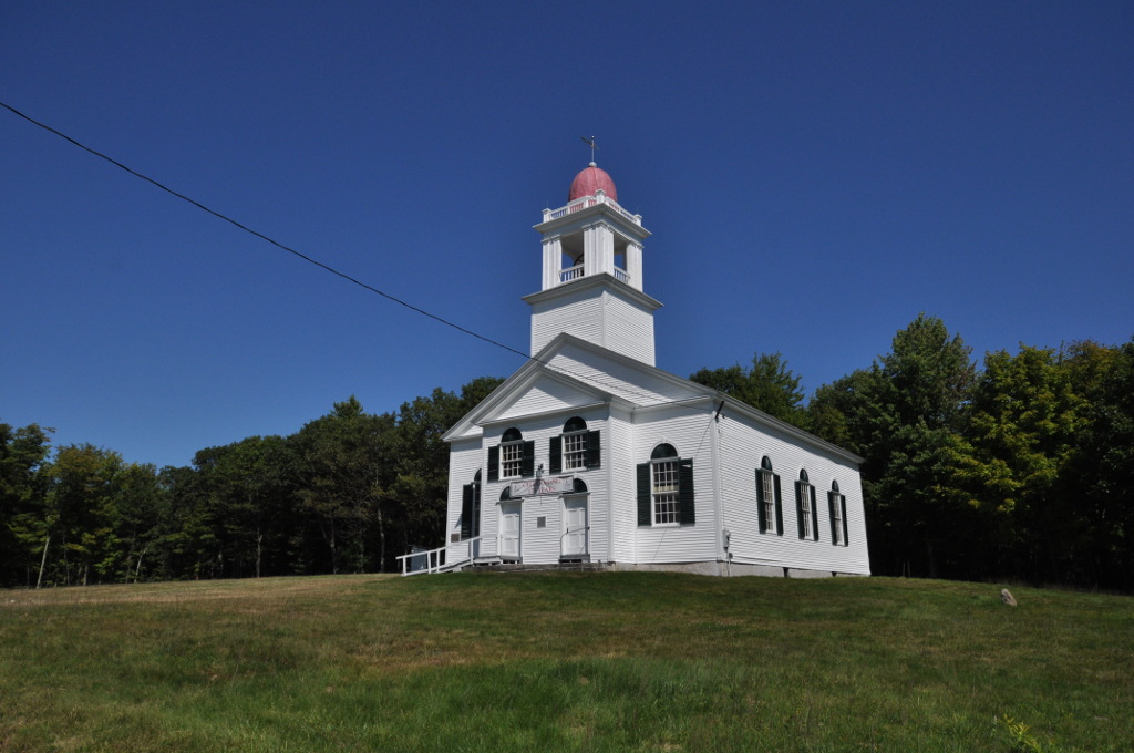 Bell HillRitual site, holy tree/bush · 1.2 mi
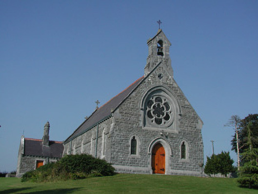 Saint Kieran's Catholic Churchchurch/chapel · 1.3 mi
 Saint Kieran's WellSpring · 1.6 mi
 RampartsCastle, motte · 1.6 mi
 Cumber HillMountain / peak · 1.7 mi
 HawthornHawthorn · 1.7 mi
 Drummin HillMountain / peak · 1.8 mi
 Site of Tulla CastleCastle, unclassified · 2.4 mi