What is recorded here
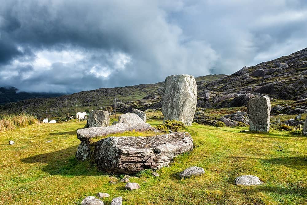
In rough hill pasture, on a break in the N-facing slope of Knocknaveacal. A subcircular area (8.2m E-W; 7.8m N-S) defined by a collapsed drystone wall (T c. 0.6m; H 0.9m) which is cut (D 0.1-0.3m) S-W into the upslope. The lower course stones protrude above the bog surface. Rubble from the collapsed upper courses is scattered along the perimeter, both internally and externally. The interior is level. Outside the enclosure the ground rises steeply to the S and falls away steeply to the N.
The above description is derived from the published 'Archaeological Inventory of County Kerry. Volume I: South-West Kerry' (Dublin: Stationery Office, 2009). In certain instances the entries have been revised and updated in the light of recent research.
Date of upload: 30 May 2011
The monument record does not grant public access. Check the route and ask the landowner before entering private land.
- What survives
- Recorded monument
Places near here
 Keeragh MountainMountain / peak · 794 yd
 SheepfoldHut site · 935 yd
 StonecircleArchaeological place · 987 yd
 Drung HillMountain / peak · 1094 yd
 Eskadawer Br.Bridge · 1579 yd
 Bird IslandIslet · 1.2 mi
 Glashananinnaun Br.Bridge · 1.3 mi
 Japanese cedarJapanese cedar · 2.2 mi
 Soft Tree-fernSoft Tree-fern · 2.2 mi
 Crane IslandIslet · 2.3 mi
 Ardgroom Pulleen LoopWalking route · 3.0 mi
 Mare's Tail WaterfallViewpoint · 4.8 mi