What is recorded here
An enclosure at Derrydonnell is marked on a 1777 estate map of Edward Crofton in NLI (ms 19,672 no. 1,2). It was not encountered unless it is the rath (RO040-037----), which is very likely.
Compiled by: Michael Moore
Date of upload: 24 August 2010
The monument record does not grant public access. Check the route and ask the landowner before entering private land.
- What survives
- Recorded monument
Places near here
 IndicatedFairy fort / earthen ringfort · 285 yd
 Derrydonnell ForestForest · 662 yd
 Pedunculate OakPedunculate Oak · 918 yd
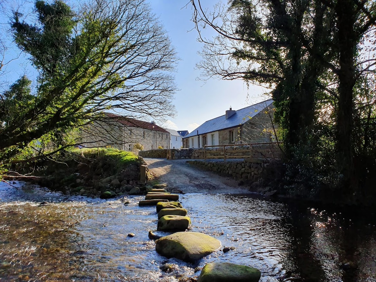 MillMill, unclassified · 1200 yd
 St. Catherines WellHoly well · 1698 yd
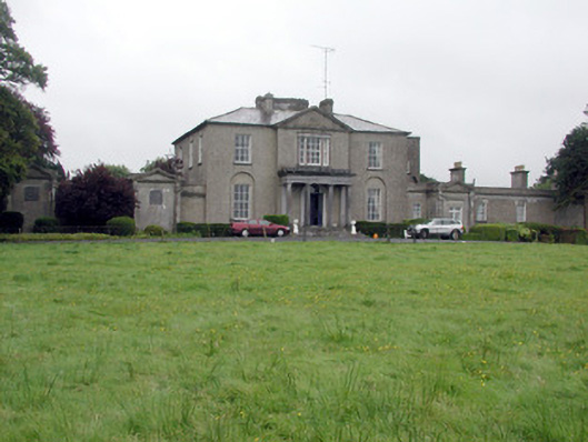 Carrowroe Parkcountry house · 1732 yd
 Roscommon CastleCastle · 2.4 mi
 Hangman's HillMountain / peak · 3.3 mi
 Galey CastleCastle, tower house · 4.4 mi
 Cruit BayBay · 4.5 mi
 Galey BayBay · 4.6 mi
 CastleHouse, fortified house · 5.1 mi