What is recorded here
Half a kilometre above the Borlin valley, a low stone-and-earth bank still marks a small D-shaped enclosure on the slopes of Knockboy Mountain. It faces southeast into rough grazing, with a stream running beside its western edge and the mountain air moving across the terrace. The shape is modest, but it is the kind of place where people would have kept animals, stored tools or simply made a boundary between their own work and the wilder hill.
In rough grazing on a SE-facing gently sloping terrace on the rugged slopes of Knockboy Mountain overlooking the valley of the Borlin River. A roughly D-shaped area (11m E-W) with the straight side at W (L 12m) is enclosed by an earth and stone bank (max. Wth 1.2m; H 0.7m). The enclosing bank narrows as it rises and a stream flows externally along the bank at W. There is a hut site (CO091-025002-) c. 100m to the NNW and a copper mine (CO091-029----) c. 180m to the NE.
The above description is derived from 'The Archaeological Inventory of County Cork. Volume 5' (Dublin: Stationery Office, 2009).
Date of upload: 22 December 2009
The monument record does not grant public access. Check the route and ask the landowner before entering private land.
- What survives
- Recorded monument
Places near here
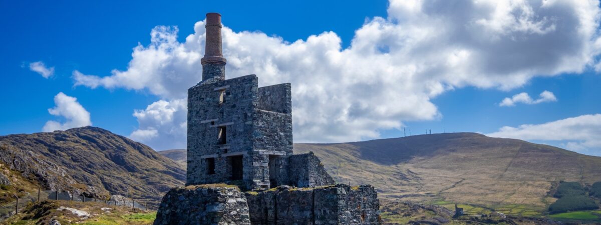 MineMine, copper · 200 yd
 Hut site in DerryclogherHut site · 242 yd
 Field boundary in CurramoreField boundary · 492 yd
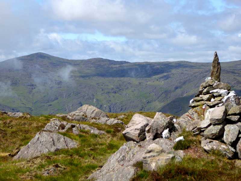 Caoinkeen South-East TopMountain / peak · 1.3 mi
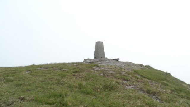 Knockboy North TopMountain / peak · 1.8 mi
 CaoinkeenCliff · 2.1 mi
 The Priests LeapViewpoint · 2.8 mi
 Carriganass CastleCastle · 3.3 mi
 Kealkill stone circleVisitor information · 4.1 mi
 Coomhola Salmon Trust (Streamscapes)Museum · 4.1 mi
 Daly's LoopWalking route · 4.4 mi