
What is recorded here
From the National Monuments Service (Archaeological Survey of Ireland) record TN022-006
Places near here
Photo credits
- Tipperary GAA club focus / Moneygall GAA; photographer not named, tipperary.gaa.ie
- National Inventory of Architectural Heritage
- Sarah777, Geograph · CC BY-SA 2.0
- Maker not stated on source page, www.pinterest.com
- Maker not stated on source page, www.geograph.ie
- Maker not stated on source page, www.dreamstime.com
- Maker not stated on source page, en.wikipedia.org
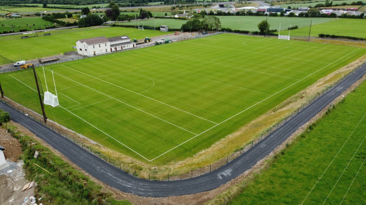 Moneygall GAA pitchGAA ground · 743 yd
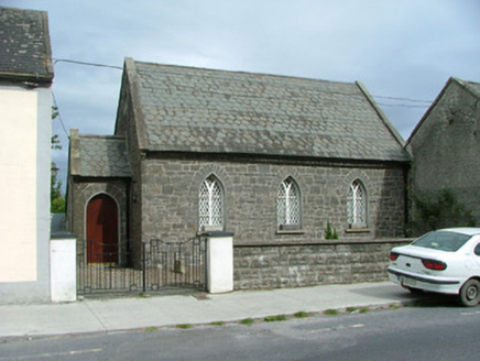 Moneygall ChurchSchool · 1102 yd
Explorer Tom Moneygall Church in Moneygall is bragging about surviving a storm that probably just blew over because it was bored.…
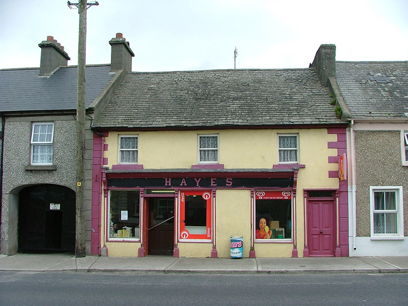 HayesHouse · 1162 yd
Explorer Tom Hayes in Moneygall is a traditional terraced shop that claims to know every celebrity who ever walked past its…
 J. CollisonHouse · 1195 yd
Explorer Tom J. Collison in Moneygall is showing off its stucco shopfront like it’s the most important building on the R490. It’s…
 Lawn WoodForest · 1332 yd
Explorer Tom Lawn Wood in County Tipperary had a prophecy that it would turn into gold, but then someone invented the internet and…
 Fairy fort / earthen ringfort in DrumroeFairy fort / earthen ringfort · 1455 yd
Explorer Tom Fairy fort / earthen ringfort in Drumroe is perched on a slope like it’s judging your outfit. A bishop refused to visit…
 Church in MoneygallChurch · 1488 yd
Explorer Tom Church in Moneygall is playing the long game. It’s been hiding since the sixteens, and honestly, it’s winning. If it…
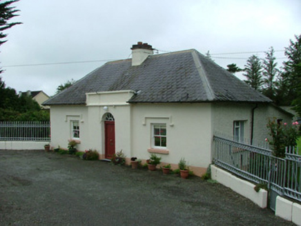 Busherstown HouseGate lodge · 1.0 mi
Explorer Tom Busherstown House gate lodge would win the county fair for best dressed doorkeeper, hands down. It stands back from the…
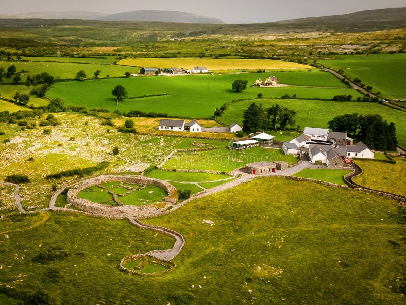 Fairy fort / earthen ringfort in CloncannonFairy fort / earthen ringfort · 1.0 mi
Explorer Tom Local legend says a giant once tried to build this Cloncannon ringfort but got distracted by a particularly interesting…
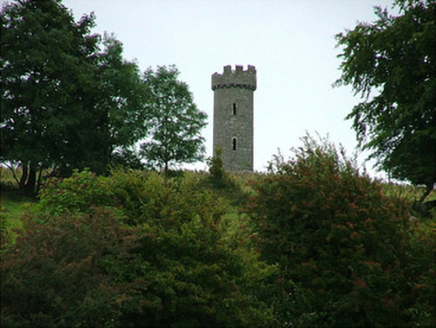 Busherstown TowerFolly · 1.2 mi
Explorer Tom Busherstown Tower is basically a fancy hat for a hill that nobody actually lives in anymore. A fox took charge of the…
 Graveyard in DrumroeGraveyard · 1.3 mi
Explorer Tom Drumroe’s graveyard sits on high ground with a church that has a wobbly north wall. It would describe itself to a…
 CastleCastle, unclassified · 1.5 mi
Explorer Tom The Castle in Cloncannon is unlocated, which means it’s playing hard to get or hiding in the hedgerows with a sandwich.…
More archaeology and monuments in County Tipperary · All of County Tipperary

What do you know about this place?Tap to add a comment or ask a question