What is recorded here
On a S-facing slope in marshy grassland, overlooking the Owendalulleegh River. This poorly preserved oval enclosure (63m E-W; 42m N-S) is defined by a scarp. It is overlain by a field boundary at NW.
From the National Monuments Service (Archaeological Survey of Ireland) record GA124-004
The monument record does not grant public access. Check the route and ask the landowner before entering private land.
- What survives
- Recorded monument
Places near here
Photo credits
- National Inventory of Architectural Heritage
- colm, Wikimedia Commons · CC BY-SA 2.0
- dougf, Wikimedia Commons · CC BY-SA 2.0
- Willow, Wikimedia Commons · CC BY 2.5
- Didier Descouens, Wikimedia Commons · CC BY-SA 4.0
- Mike Searle, Wikimedia Commons · CC BY-SA 2.0
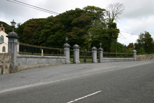 Saint Patrick's Catholic ChurchGates/railings/walls · 1009 yd
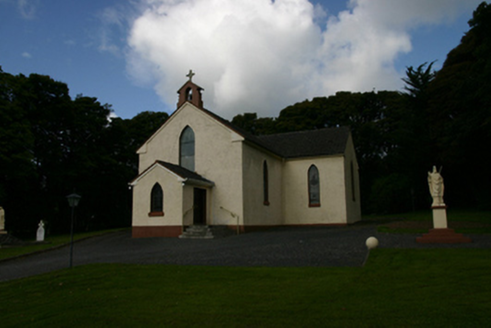 Saint Patrick's Catholic ChurchChurch/chapel · 1037 ydKnocknamonaMountain / peak · 1388 ydDerrybrien Bog SlideHeritage attraction · 1.7 miCashlaundrumlahanFairy fort / stone ringfort · 2.2 miMaguire SistersMemorial · 4.0 miScalpeen RockNamed rock · 4.2 mi
 MagheraMountain / peak · 8.2 mi
 Kiltartan Castle (in ruins)Castle, Anglo-Norman masonry castle · 8.9 mi
 European ash9.2 mi
 Hawthorn9.3 mi
 Ardamullivan Castle (in ruins)Castle, tower house · 10 mi
More archaeology and monuments in County Galway · All of County Galway
What do you know about this place?