
What is recorded here
Cashlaundrumlahan is a vanished fairy fort at the junction of four Galway townlands, its double wall erased when upland bog became forest. A curving trackway still bends through the trees, perhaps tracing the circle that men and myths once walked. The stones did not break; they withdrew beneath root and rain, waiting for footsteps brave enough to listen.
Located at the junction of four townlands, in an area of upland bog. Named ‘Cashlaundrumlahan’ on the OS 6-inch maps. According to local information, a ‘double wall’ once existed here but it was destroyed when the area was forested. No visible surface trace survives but a curving trackway may respect the circuit of the monument.
Compiled by: Olive Alcock
Date of upload: 3 September 2015
This remains an important historical record, but the official description says the monument is no longer visible or has been destroyed. The monument record does not grant public access. Check the route and ask the landowner before entering private land.
- What survives
- No visible remains or recorded as destroyed
Places near here
 Derrybrien Bog SlideHeritage attraction · 1506 yd
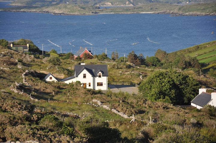 KnocknamonaMountain / peak · 1.4 mi
 KnockapollboyMountain / peak · 1.5 mi
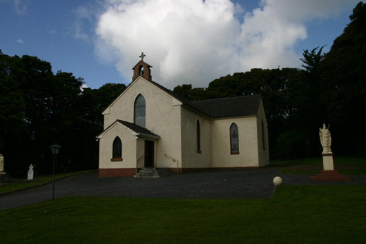 Saint Patrick's Catholic Churchchurch/chapel · 1.8 mi
 Scalpeen RockNamed rock · 2.1 mi
 Enclosure in Derrybrien EastEnclosure · 2.2 mi
 KilnKiln, lime · 3.5 mi
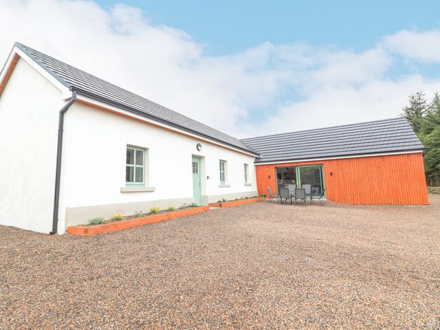 Enclosure in CurhoorEnclosure · 3.7 mi
 Bawn in Cloghaun (loughrea By.)Bawn · 4.8 mi
 Castle (in ruins)Castle, Anglo-Norman masonry castle · 5.4 mi
 Hawkins WoodWood · 6.6 mi
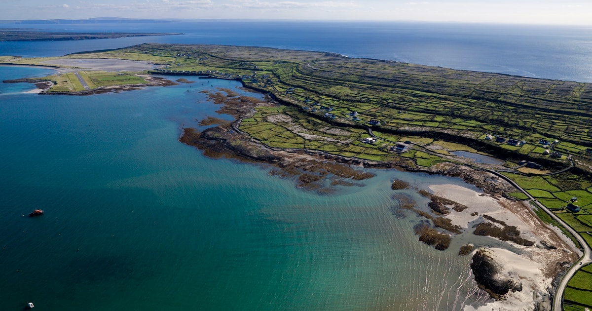 Beagh IslandWood · 7.4 mi
Other information
Photo: Credit not shown in the picture search · Rights wording not checked; contact us if this picture should be removed