What is recorded here
In tillage. A circular enclosure (diam. c. 40m) visible as a cropmark on satellite imagery (2021 Maxar Technologies, viewed May 2021), identified and reported by Jean-Charles Caillère. The enclosure is defined by a fosse. Two enclosures (TS081-082----; TS081-049----), also visible as cropmarks, are located in the vicinity, the former lies c. 40m to the WNW and the latter c. 240m to the NW.
See attached photograph:
TS081-083----_01 Satellite image (2021 Maxar Technologies, viewed May 2021)
Compiled by: Jean Farrelly
Date of upload: 30 June 2021
The monument record does not grant public access. Check the route and ask the landowner before entering private land.
- What survives
- Recorded monument
Places near here
 Enclosure in DerravoherEnclosure · 329 yd
 Enclosure in Burges WestEnclosure · 602 yd
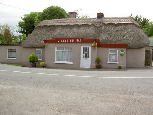 J. Keatinghouse · 915 yd
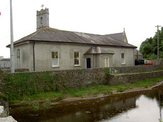 Catholic Church of Our Lady and Saint Kieranschool · 944 yd
 CastleCastle, motte · 1.0 mi
 Knockane Castle ruinsCastle · 1.7 mi
 Garrycloher WoodForest · 2.0 mi
 Pedunculate OakPedunculate Oak · 2.8 mi
 Woodcock HillMountain / peak · 3.4 mi
 Cahir CastleHeritage attraction · 4.0 miSiege of Cahir Castlesiege · 4.1 mi
 Caher AbbeyHeritage attraction · 4.3 mi