What is recorded here
Outline of enclosure (approx. diam. 37m) visible on Digital Globe aerial imagery.
Compiled by: Caimin O'Brien based on details provided by Edmond O'Donovan
Date of upload: 30 October 2019
The monument record does not grant public access. Check the route and ask the landowner before entering private land.
- What survives
- Recorded monument
Places near here
 Hachured fortFairy fort / earthen ringfort · 548 yd
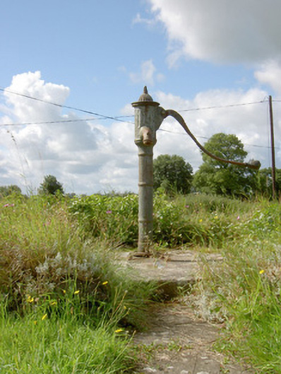 water pumpwater pump · 1035 yd
 Field system in Deerpark (shrule By.)Field system · 1086 yd
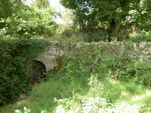 bridgebridge · 1306 yd
 CastleCastle, motte · 1.2 mi
 European BeechEuropean Beech · 1.5 mi
 Not locatedCastle, unclassified · 1.8 mi
 Pedunculate OakPedunculate Oak · 2.0 mi
 Abbeyshrule AbbeyRuins · 2.7 mi
 Goldsmith Birthplace, PallasVisitor information · 3.6 mi
 Newcastle WoodsForest · 4.0 mi
 Guest ServicesVisitor information · 4.3 mi