What is recorded here
In pasture, located on a terrace on an undulating W-facing slope. There is a stream 30m to N. The location provides widespread views of lowlying pastureland from SW−NW, with the Atlantic in the distance at SW and NW.
This possible enclosure is not shown on the 1838 and 1919 OS 6-inch maps. It consists of a slightly raised, roughly circular area (diam. 10.5-11m) defined by a scarp. Stones can be felt underfoot or protrude in parts around the scarp. The W arc of the scarp (H 0.4m at SW, 0.7m at NW) is most clearly defined, and has a slight internal lip at top, suggesting the remains of an enclosing wall. The scarp at SE appears somewhat expanded, with two large stones protruding on the external face; it may incorporate field clearance stones. There is a break (Wth 2m) at NE and another (Wth 1.5-2m) at SSE.
The grass-covered remains are poorly defined, but appear to represent the remnants of a small enclosure of uncertain date and function. It occupies a natural rise, and it is unclear to what extent its outline may reflect underlying bedrock.
A loose cairn of field clearance stones, not grass-covered, lies immediately adjacent at NE. Remnants of a relict field wall, consisting of a roughly N-S row of contiguous large stones, lie 3m to E. Relict cultivation ridges are visible, on varying orientations, throughout the surrounding field.
Compiled by: Jane O'Shaughnessy
Date of upload: 9 November 2017
The monument record does not grant public access. Check the route and ask the landowner before entering private land.
- What survives
- Recorded monument
Places near here
 Enclosure in KinnakillewEnclosure · 280 yd
 TobergortnaunHoly well · 1378 yd
 Silver StrandBeach / strand · 1.0 mi
 Uggool BeachBeach / strand · 1.4 mi
 DooneenIslet · 1.8 mi
 White StrandBeach / strand · 1.8 mi
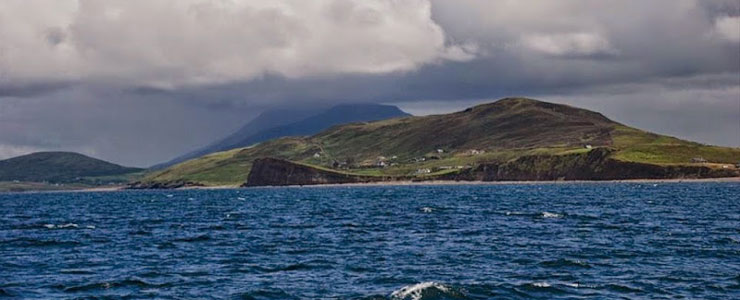 Carricknaglamph IslandIslet · 1.9 mi
 GubanillaunHeadland · 2.1 mi
 MweelreaMountain / peak · 2.1 mi
 Ben BuryMountain / peak · 2.4 mi
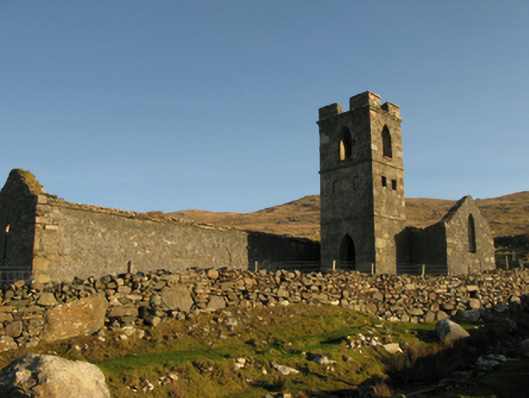 Gowlaun Catholic Chapelchurch/chapel · 2.4 mi
 Salrock Churchchurch/chapel · 3.5 mi