
What is recorded here
From the National Monuments Service (Archaeological Survey of Ireland) record KE058-447
Places near here
Photo credits
- Maker not stated on source page, nexusnewsfeed.com
- Mike Searle, Geograph · CC BY-SA 2.0
- Maker not stated on source page, www.tripadvisor.ru
- Berthold Strucken, Wikimedia Commons · CC BY-SA 4.0
- Maker not stated on source page, www.flickr.com
- Clint Mann, Geograph · CC BY-SA 2.0
- Bkwillwm, Wikimedia Commons · CC BY-SA 3.0
- Maker not stated on source page, www.agriland.ie
- Maker not stated on source page, www.tripadvisor.com.ph
- National Inventory of Architectural Heritage
- David Medcalf / Geograph, www.geograph.ie
- Golfing in Ireland; photographer not stated, Source publisher
 Fairy fort / earthen ringfort in GortareeFairy fort / earthen ringfort · 640 yd
Explorer Tom Fairy fort / earthen ringfort in Gortaree is famous for a smuggling story involving a wheelbarrow full of illegal jam.…
 Aghadoe Church (in Ruins)Church · 1274 yd
Explorer Tom Aghadoe Church in Parkavonear, County Kerry: Map makers got this one wrong because they kept losing their pencils near…
 Aghadoe CemeteryCemetery · 1302 yd
Explorer Tom Aghadoe Cemetery in County Kerry is guarded by a superstition that says if you sneeze inside the fence, your car won't…
 Aghadoe Early Medieval Ecclesiastical SiteHeritage attraction · 1317 yd
Explorer Tom Aghadoe's ruined church and round-tower base sit above Killarney with enough carved stone to make you slow down, even…
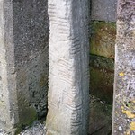 Ogham Stone (Site of)Ogham stone · 1332 yd
Explorer Tom Ogham Stone in Parkavonear is sick of people asking if it’s haunted by a lonely poet. It’s actually just tired from…
 Round CastleCastle, Anglo-Norman masonry castle · 1366 yd
Explorer Tom Round Castle in Parkavonear is sick of people asking if it can still hold a party. It’s got a narrow internal stair…
 Parkavonear CastleCastle · 1367 yd
Explorer Tom Parkavonear Castle stands below Aghadoe's older church remains, a round Norman tower on a Kerry slope that seems to…
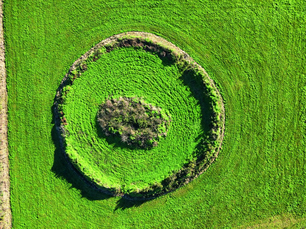 Fairy fort / earthen ringfort in Knoppoge (magunihy By.)Fairy fort / earthen ringfort · 1476 yd
Explorer Tom Fairy fort / earthen ringfort in Knoppoge got mapped wrong because the surveyor was too busy staring at his own…
 Aghadoe Church of Ireland GraveyardGraveyard · 1711 yd
Explorer Tom Aghadoe Church of Ireland Graveyard in County Kerry has a ghost who is too lazy to haunt anyone, preferring to nap…
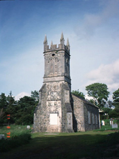 Aghadoe ChurchChurch/chapel · 1715 yd
Explorer Tom Aghadoe Church in Knoppoge has an imaginary fan club that only meets during thunderstorms. It’s disused now, but still…
 Fossa GAA pitchGAA ground · 1.5 mi
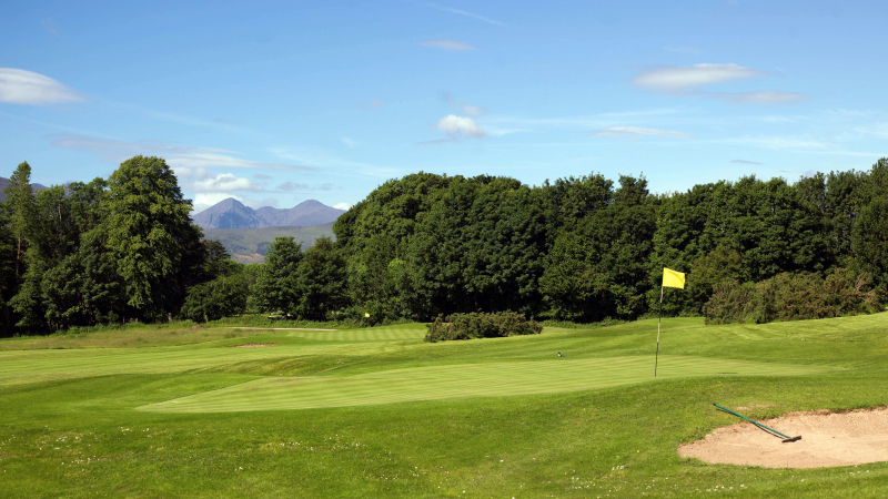 Castlerosse Golf ClubGolf course · 1.6 mi
More archaeology and monuments in County Kerry · All of County Kerry

What do you know about this place?Tap to add a comment or ask a question