What is recorded here
Fairy forts are human origins wearing a new skin, and Gortaree is no exception. Its measured ring, shallow ditch and level interior point to a lived estate, not a fantasy circle. The fairies enter later, drawn to the shape and silence of the place.
In pasture, on a small plateau. A circular area (diam. c. 42m) defined by an earth and stone bank (Wth 5.6m; int. H 0.2m; ext. H 0.8m) S-N and by a low bank (ext. H 1.6m) N-S. An external fosse (Wth 2m; D 0.35m) is evident S-N though it has been altered S-W due to ploughing. The interior is flat and level and may have been raised slightly above the external ground level. There is a possible entrance at S.
Compiled by: Elizabeth Byrne, Ursula Egan and Sheila Ronan, Archaeological Survey Unit, University College, Cork.
Date of upload: 31 January 2011
The monument record does not grant public access. Check the route and ask the landowner before entering private land.
- What survives
- Recorded monument
Places near here
 Enclosure in ParkavonearEnclosure · 578 yd
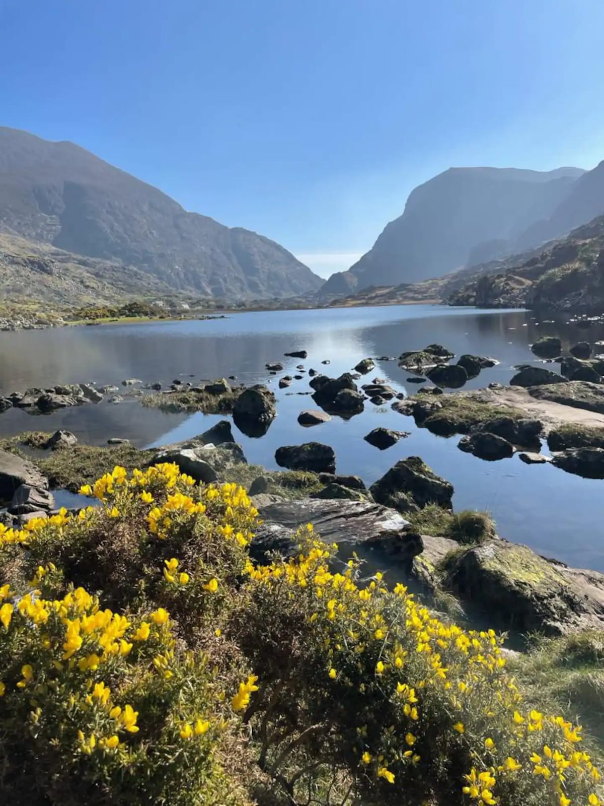 Enclosure in Barleymount EastEnclosure · 1032 yd
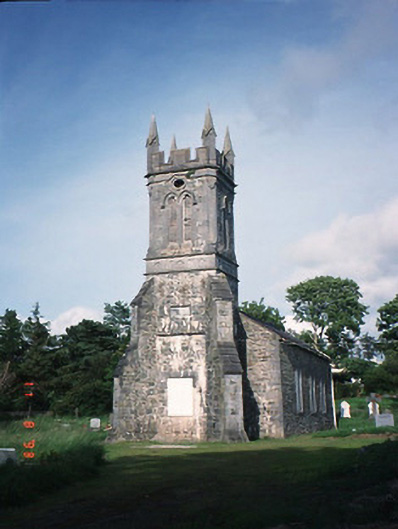 Aghadoe Churchchurch/chapel · 1134 yd
 Aghadoe Church (in Ruins)Church · 1208 yd
 Aghadoe Early Medieval Ecclesiastical SiteHeritage attraction · 1232 yd
 Parkavonear CastleCastle · 1254 yd
 Lamb IslandIsland · 2.2 mi
 Circular WalkWalking route · 2.3 mi
 Rabbit or Brown IslandIslet · 2.3 mi
 Famine MemorialMemorial · 2.5 mi
 European YewEuropean Yew · 2.6 mi
 Giant SequoiaGiant Sequoia · 2.6 mi