What is recorded here
Faint cropmark of N and E sides of rectangular enclosure visible in aerial photograph (GSIAP, R714, May 1977); S and W sides formed by field fences. In uncultivated overgrown field. No visible surface trace. Kerbed circle (9829) c. 60m to N.
The above description is derived from the published 'Archaeological Inventory of County Cork. Volume 4: North Cork' (Dublin: Stationery Office, 2000). In certain instances the entries have been revised and updated in the light of recent research.
Date of upload/revision: 14 January 2009
The monument record does not grant public access. Check the route and ask the landowner before entering private land.
- What survives
- Recorded monument
Places near here
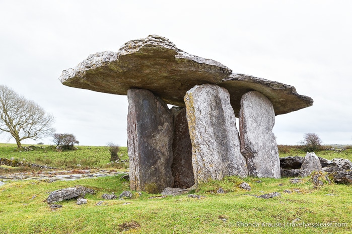 DolmenWedge tomb · 389 yd
 Burial ground in Ballynaraha (fermoy By.)Burial ground · 447 yd
 Manning HouseCountry house · 1097 yd
 MillMill, unclassified · 1161 yd
 Dunmahon Castle (in Ruins)Bawn · 1272 yd
 Glanworth CastleCastle · 1.2 mi
 St Dominick's WellSpring · 1.2 mi
 Graveyard in BoherashGraveyard · 1.3 mi
 Blackwater (Avondhu) WayWalking route · 4.7 mi
 Flat cemetery in Ballyenahan NorthFlat cemetery · 4.8 mi
 Johnson's WoodForest · 4.9 mi
 Priest's WoodForest · 5.1 mi