
Places near here
Photo credits
- Golfing in Ireland; photographer not stated, Source publisher
- ORF; photographer not stated, ORF
- National Inventory of Architectural Heritage
- JP, Wikimedia Commons · CC BY-SA 2.0
- Picture: Fun.ie
- Kmcnamee, Wikimedia Commons · CC BY-SA 4.0
- Ronnie Nijboer, Wikimedia Commons · CC0
- Garry Dickinson, Geograph · CC BY-SA 2.0
- Kieran Campbell, Geograph · CC BY-SA 2.0
- Dieglop, Wikimedia Commons · CC BY-SA 4.0
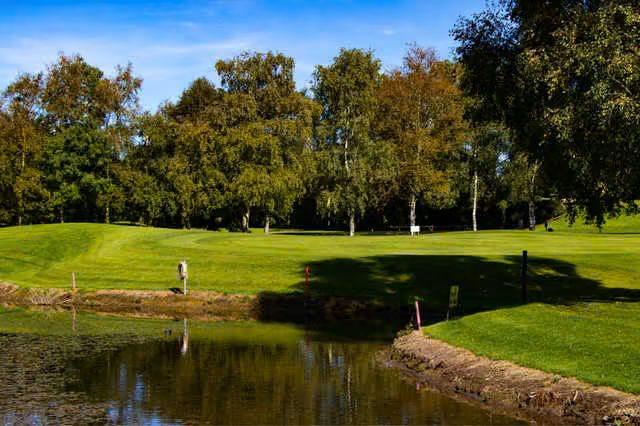 Kilcock Golf ClubGolf course · 1177 yd
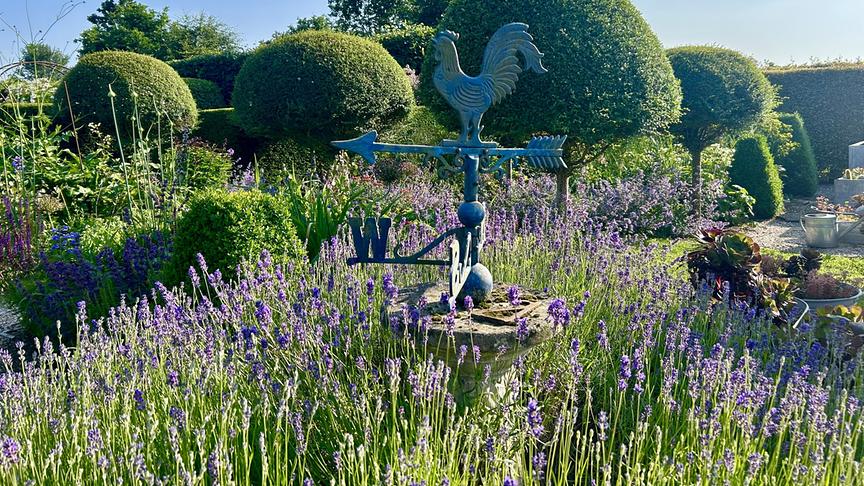 Kilgar GardensHeritage attraction · 1274 yd
Explorer Tom Kilgar Gardens, just outside Kilcock in County Meath, is three acres of garden rooms that seem to have agreed to…
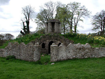 Larchill HouseMausoleum · 1.4 mi
Explorer Tom Larchill House mausoleum in Phepotstown is actually a fox's earth with a temple on top, which is either genius or…
 McLoghlin BridgeBridge · 1.5 mi
Explorer Tom McLoghlin Bridge has a secret talent for misspelling its own name on plaques since 1797. It’s part of a canal group…
 Larchil Arcadian GardensHeritage attraction · 1.5 mi
Explorer Tom Larchill is what happens when a farm decides ordinary fields are too sensible. Robert Prentice began turning the Meath…
 16th LockLock · 2.8 mi
Explorer Tom 16th Lock in Kilcock has strict rules: no boats, no noise, just good stone masonry and quiet dignity on the canal. It’s…
 Allied Irish BankHouse · 2.9 mi
Explorer Tom Allied Irish Bank in Kilcock ended up in the wrong postcode by accident. It was two houses, then a bank, now it just…
 Kilcock GAA pitchGAA ground · 3.2 mi
 Wych Elm5.4 mi
Explorer Tom Wych Elm in County Meath is being claimed by a local who says he invented it. He swears he planted it from a seed found…
 Skreen CastleCastle, tower house · 11 mi
Explorer Tom Skreen Castle is overhearing every secret the walls have swallowed over the centuries and judging your life choices…
 CastleCastle, tower house · 13 mi
Explorer Tom Castle in Monktown is locked in an eternal feud with the rain, and honestly, it’s losing badly. You’ve got a Cistercian…
 MonasteryEcclesiastical residence · 20 mi
Explorer Tom Monastery in Slanecastle Demesne is no longer visible, which means it’s probably just a bunch of stories about…
More archaeology and monuments in County Meath · All of County Meath

What do you know about this place?Tap to add a comment or ask a question