What is recorded here
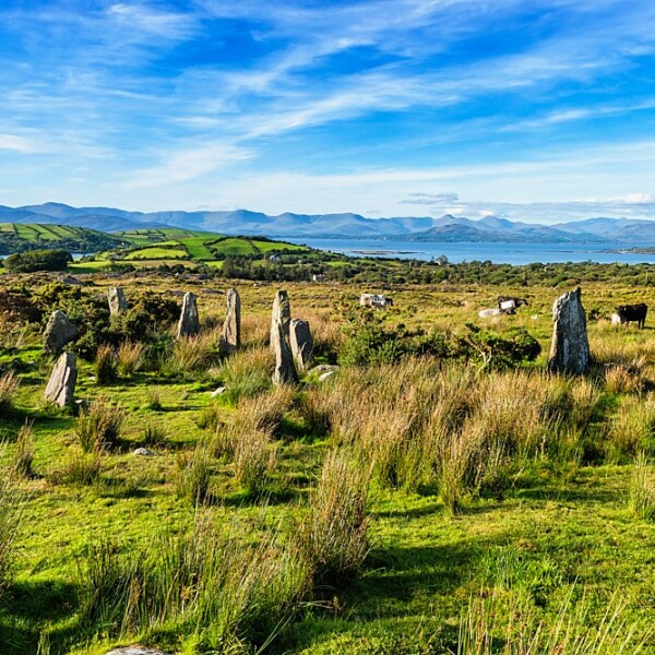
In pasture, on the lower N-facing slopes of Tooth Mountain. The enclosure is not visible at ground level. It is indicated as a circular embanked enclosure (diam. c. 15m) on the 1846 OS 6-inch map.
The above description is derived from the published 'Archaeological Inventory of County Kerry. Volume I: South-West Kerry' (Dublin: Stationery Office, 2009). In certain instances the entries have been revised and updated in the light of recent research.
Date of upload: 30 May 2011
The monument record does not grant public access. Check the route and ask the landowner before entering private land.
- What survives
- Recorded monument
Places near here
 Boulder-burial in Ardgroom OutwardBoulder-burial · 458 yd
 Glashananinnaun Br.Bridge · 792 yd
 CairnCairn, unclassified · 1052 yd
 Keeragh MountainMountain / peak · 1204 yd
 Bird IslandIslet · 1502 yd
 CoomacloghaneMountain / peak · 1.0 mi
 Eskadawer Br.Bridge · 1.9 mi
 Ardgroom Pulleen LoopWalking route · 2.2 mi
 Crane IslandIslet · 3.1 mi
 Japanese cedarJapanese cedar · 3.3 mi
 Soft Tree-fernSoft Tree-fern · 3.3 mi
 Beara WayWalking route · 4.4 mi