What is recorded here
On gentle S-facing slope in undulating terrain, under lush meadow. Monument indicated on the 1st (1840) and 2nd (1904-05) ed. OS 6-inch map as a roughly circular enclosure (diam. c. 31m N-S; c. 34m E-W), defined by scarp. The monument has been levelled and no visible trace above ground could be seen at time of inspection. It is possible that the outline may be visible in low grass.
Compiled by: Jean Farrelly
Date of upload: 04 February 2014
This remains an important historical record, but the official description says the monument is no longer visible or has been destroyed. The monument record does not grant public access. Check the route and ask the landowner before entering private land.
- What survives
- No visible remains or recorded as destroyed
Places near here
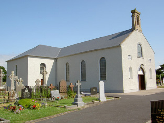 Saint Nicholas's Catholic Churchchurch/chapel · 682 yd
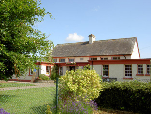 Grange National Schoolschool · 745 yd
 Enclosure in NicholastownEnclosure · 1004 yd
 Enclosure in MonksgrangeEnclosure · 1201 yd
 Nicholastown Castle (in ruins)Castle, tower house · 1379 yd
 Ballindoney Castle (in ruins)Castle, tower house · 1528 yd
 DeerparkWood · 1.6 mi
 Deodar CedarDeodar Cedar · 1.9 mi
 Woodcock HillMountain / peak · 2.9 mi
 European long distance path E8 - part IrelandWalking route · 3.5 mi
 Cahir CastleHeritage attraction · 4.6 miSiege of Cahir Castlesiege · 4.7 mi