What is recorded here
The following description is derived from the published 'Archaeological Inventory of County Carlow' (Dublin: Stationery Office, 1993). In certain instances the entries have been revised and updated in the light of recent research.
Date of upload/revision: 17 July 2007
Circular area (int. diam. 36m) enclosed by stone wall (H c. 1.5m; Wth 1.3m). Gaps at ESE and WNW. Small shelter on inner face of wall at SSE by gap. Wall is similar to adjacent field boundaries.
A local fairy fort (ringfort/rath); wider significance not recorded.
The monument record does not grant public access. Check the route and ask the landowner before entering private land.
- What survives
- Recorded monument
Places near here
 Enclosure in RaheendarraghEnclosure · 772 yd
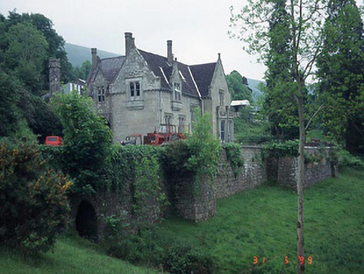 Mount Leinster Lodgecountry house · 1515 yd
 Saint Fortchern's Catholic Churchchurch/chapel · 1.2 mi
 Irish Hangliding and Paragliding AssociationMemorial · 1.4 mi
 Mount LeinsterMountain · 1.5 mi
 KnockroeMountain / peak · 1.7 mi
 SlievebawnMountain / peak · 1.8 mi
 Enclosure in RaheenlieghEnclosure · 1.9 mi
 Coonogue WoodForest · 2.3 mi
 Rathnageeragh Castle (in ruins)Castle, unclassified · 2.9 mi
 St Bridget's WellSpring · 3.7 mi
 Kilcullaun Church (in ruins), GraveyardChurch · 4.3 mi
Other information
Photo: Credit not shown in the picture search · Rights wording not checked; contact us if this picture should be removed