
What is recorded here
One of two double ditched enclosures, visible on aerial photographs taken by Michael Moore during the summer of 1996 (MM (63) 30-33). The other ditch of the enclosure to the N (CW014-014002-) cuts both ditches of enclosure to the S (CW014-014002-).
Compiled by: Claire Breen
Date of upload: 13 January 2012
A local fairy fort (ringfort/rath); wider significance not recorded.
The monument record does not grant public access. Check the route and ask the landowner before entering private land.
- What survives
- Recorded monument
Places near here
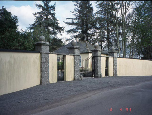 Newstown Housegate lodge · 147 yd
 Enclosure in NewstownEnclosure · 330 yd
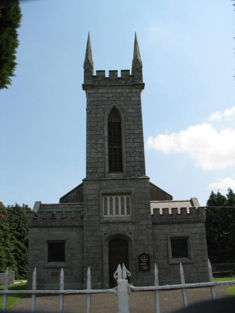 Holy Trinity Church (Ardoyne)church/chapel · 1321 yd
 Ecclesiastical enclosure in ArdoyneEcclesiastical enclosure · 1.1 mi
 CastleCastle, motte and bailey · 1.1 mi
 Rath WoodForest · 2.1 mi
 Scots PineScots Pine · 2.3 mi
 Altamont House and GardensHeritage attraction · 2.3 mi
 Altamont Gardens MapVisitor information · 2.4 mi
 Castlegrace MoatCastle, motte · 2.6 mi
 Church (in ruins), GraveyardChurch · 3.8 mi
 Kilmurry Church (in ruins), GraveyardChurch · 5.7 mi
Other information
Photo: Credit not shown in the picture search · Rights wording not checked; contact us if this picture should be removed