
What is recorded here
Situated on the S side of a public road on level ground in gently undulating terrain. Poorly preserved church (WI042-003001-) roughly centrally placed within a graveyard (WI042-003002-) which is defined by a roughly semicircular enclosure (dims. c. 20m N-S; c. 50m E-W) defined by an earth and stone bank (Wth 2.2m; int. H 0.4m; ext. H 0.6-1 m) surrounds the site but is not visible above ground to the N of the road.
The above description is derived from the published 'Archaeological Inventory of County Wicklow' (Dublin: Stationery Office, 1997). In certain instances the entries have been revised and updated in the light of recent research.
Compiled by: Jean Farrelly
Date of upload: 25 September 2012
A local fairy fort (ringfort/rath); wider significance not recorded.
The monument record does not grant public access. Check the route and ask the landowner before entering private land.
- What survives
- Recorded monument
Places near here
 CastleCastle, motte and bailey · 279 yd
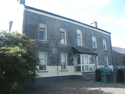 Ardoyne Housefarm house · 339 yd
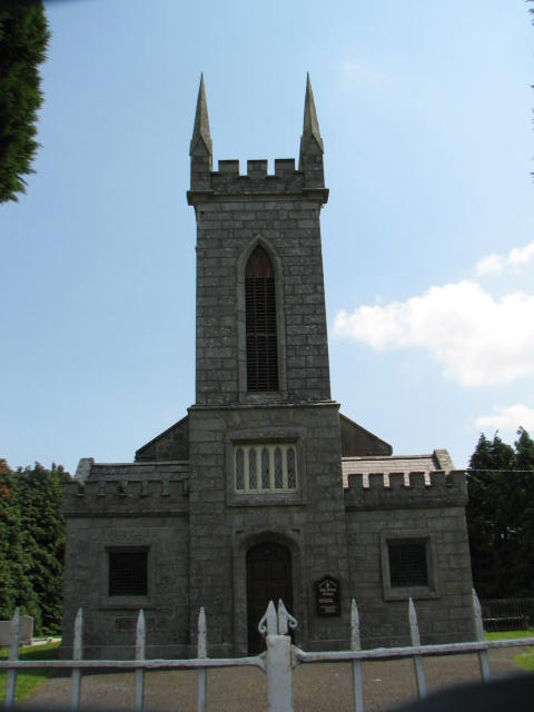 Holy Trinity Church (Ardoyne)church/chapel · 887 yd
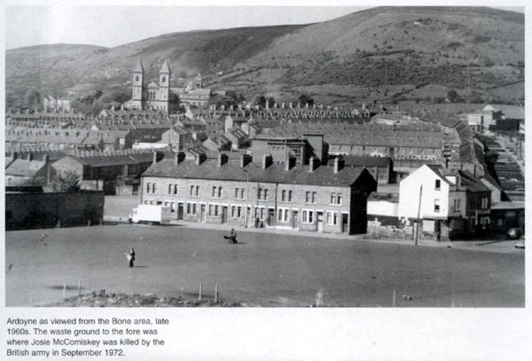 Enclosure in ArdoyneEnclosure · 910 yd
 Enclosure in NewstownEnclosure · 1.1 mi
 Rath WoodForest · 1.2 mi
 SycamoreSycamore · 2.5 mi
 Castlegrace MoatCastle, motte · 3.0 mi
 Altamont House and GardensHeritage attraction · 3.3 mi
 Altamont Gardens MapVisitor information · 3.3 mi
 Acaun Church (in ruins), GraveyardChurch · 4.8 mi
 Church (in Ruins), GraveyardChurch · 6.2 mi
Other information
Photo: Credit not shown in the picture search · Rights wording not checked; contact us if this picture should be removed