What is recorded here
Situated on a gentle S/SE-facing slope overlooking steeper slopes. Oval enclosure (dims. 60m E-W x 50m N-S) indicated on the first edition OS 6-inch map, but inaccessible due to extensive growth.
The above description is derived from the published 'Archaeological Inventory of County Wicklow' (Dublin: Stationery Office, 1997). In certain instances the entries have been revised and updated in the light of recent research.
Date of upload/revision: 17 December 2008
The monument record does not grant public access. Check the route and ask the landowner before entering private land.
- What survives
- Recorded monument
Places near here
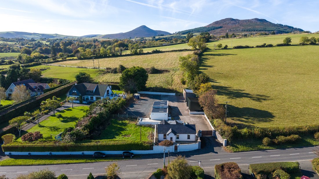 Enclosure in CourtfoyleEnclosure · 477 yd
 St. Patricks WellHoly well · 985 yd
 Church in ruinsChurch · 1277 yd
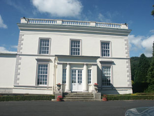 Dunran Castlecountry house · 1381 yd
 CastleCastle, ringwork · 1463 yd
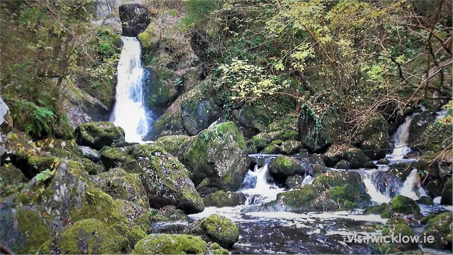 Devil's Glen WoodForest · 2.1 mi
 Castle (in Ruins)Castle, ringwork · 2.3 mi
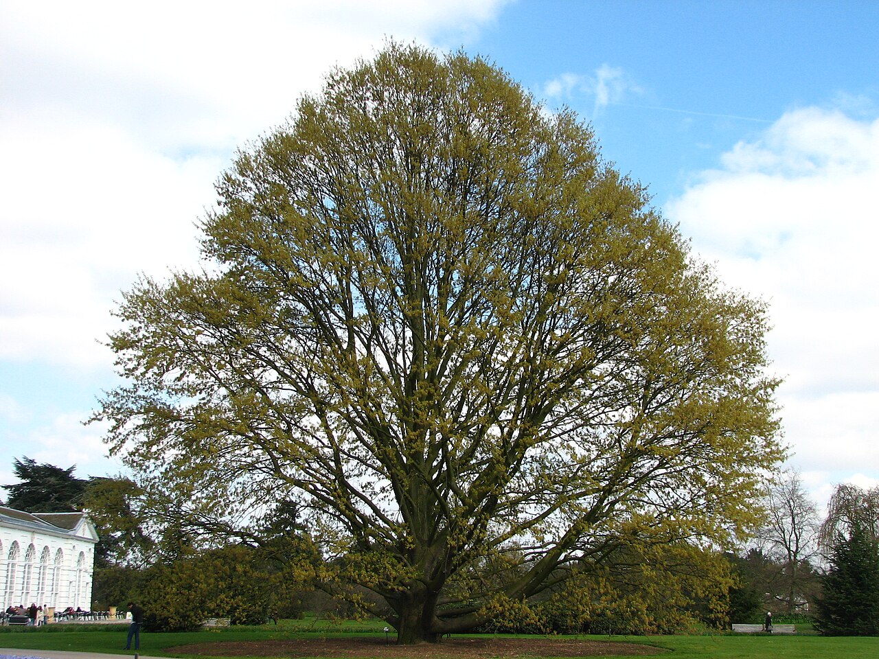 Chestnut-leaved OakChestnut-leaved Oak · 2.4 mi
 Devil's Glen WaterfallWaterfall · 3.2 mi
 Leamore StrandBeach / strand · 3.7 mi
 Carrick MountainMountain / peak · 5.0 mi
 Glenroe FarmHeritage attraction · 5.2 mi