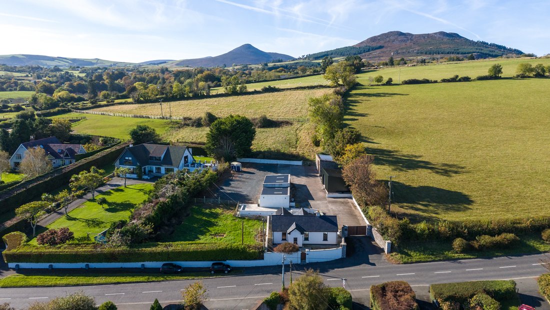
What is recorded here
Visible on aerial photographs taken by M. Moore (16-07-06) as the faint cropmark of an enclosure, in tillage.
Date of upload: 01 October 2012
A local fairy fort (ringfort/rath); wider significance not recorded.
The monument record does not grant public access. Check the route and ask the landowner before entering private land.
- What survives
- Recorded monument
Places near here
 Church (in Ruins)Church · 1121 yd
 St. Patricks WellHoly well · 1394 yd
 Trinity WellHoly well · 1572 yd
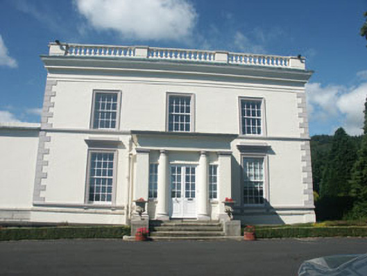 Dunran Castlecountry house · 1621 yd
 CastleCastle, ringwork · 1.1 mi
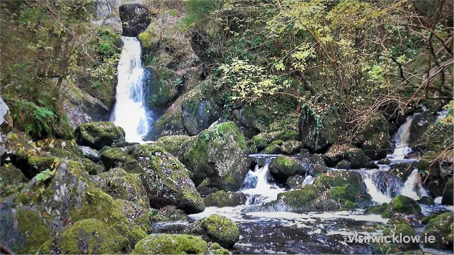 Devil's Glen WoodForest · 1.9 mi
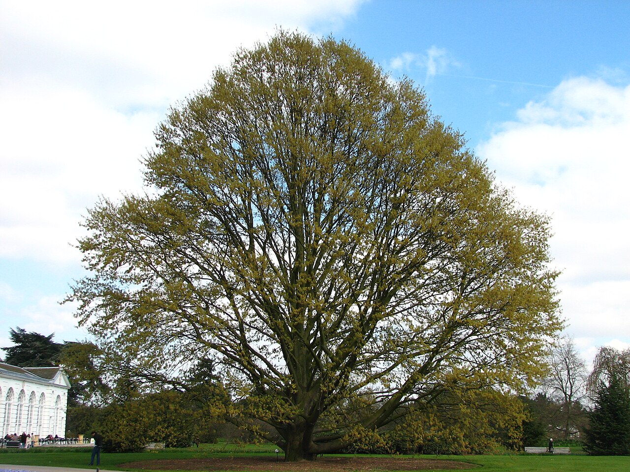 Chestnut-leaved OakChestnut-leaved Oak · 2.2 mi
 Castle (in Ruins)Castle, ringwork · 2.5 mi
 Devil's Glen WaterfallWaterfall · 2.9 mi
 Leamore StrandBeach / strand · 3.9 mi
 Carrick MountainMountain / peak · 4.8 mi
 BallinacorbegMountain / peak · 5.6 mi
Other information
Photo: Credit not shown in the picture search · Rights wording not checked; contact us if this picture should be removed