
What is recorded here
In pasture, located on a ridge, with excellent views. Not shown on the 1838 and 1930 OS 6-inch map. A roughly triangular-shaped area (c. 53m N−S; c. 50m E−W broad end at S), with the apex at N, is indicated on the 25-inch plan. It is defined by field boundaries. No visible trace at ground level.
Compiled by: Jane O’Shaughnessy
Date of upload: 1 April 2020
A local fairy fort (ringfort/rath); wider significance not recorded.
This remains an important historical record, but the official description says the monument is no longer visible or has been destroyed. The monument record does not grant public access. Check the route and ask the landowner before entering private land.
- What survives
- No visible remains or recorded as destroyed
Places near here
 Gull IslandIslet · 614 yd
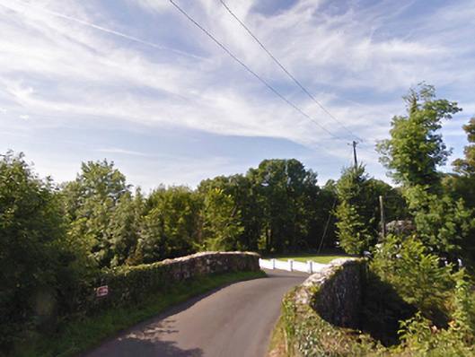 bridgebridge · 889 yd
 IndicatedFairy fort / earthen ringfort · 999 yd
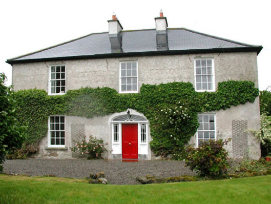 Barnfield Housefarm house · 1338 yd
 Castle (in ruins)Castle, unclassified · 1.4 mi
 Cloghans CastleCastle, tower house · 1.4 mi
 RathnaathenonFairy fort / earthen ringfort · 1.6 mi
 Battle of Ballinabattle · 3.7 miHumbert MonumentMemorial · 3.8 mi
 Roe IslandIslet · 4.2 mi
 The Marshall Doran CollectionGallery · 5.0 mi
 Belleek WoodsWood · 5.2 mi
Other information
Photo: Credit not shown in the picture search · Rights wording not checked; contact us if this picture should be removed