What is recorded here
In rough pasture, on a gentle N-facing slope. Circular area (diam. c. 12m) defined by remains of levelled bank (Wth 6.55m; int. H 0.5m; ext. H 0.8m) reduced to scarp at N. Possible remains of intervening fosse (overall Wth 3.7m; basal Wth 1.3m; D 0.3m) and outer bank (L c. 4m; Wth 3.45m; int. H 0.3m; ext. H 0.1m) at SE. Possible entrance (Wth 2.7m) at S and gap (Wth 1.65m) at NNW. Interior covered in dense scrub overgrowth.
Compiled by: Denis Power
Date of upload: 5 December 2013
The monument record does not grant public access. Check the route and ask the landowner before entering private land.
- What survives
- Recorded monument
Places near here
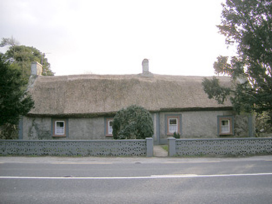 Halfway Househouse · 475 yd
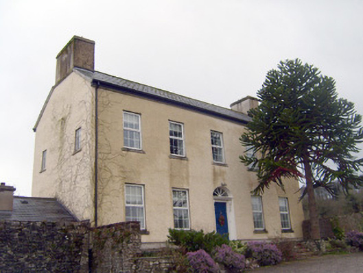 Mountsion Househouse · 475 yd
 Enclosure in LinfieldEnclosure · 1218 yd
 TobernarughillaHoly well · 1366 yd
 CastleCastle, unclassified · 1397 yd
 KnockseefinMountain / peak · 1.5 mi
 (Site of) Nicker CastleCastle, unclassified · 1.6 mi
 St. Patrick's WellSpring · 3.7 mi
 Graveyard in AbingtonGraveyard · 4.1 mi
 Kilteely HillMountain / peak · 4.1 mi
 Sliev Felim WayVisitor information · 5.0 mi
 Flat cemetery in Knockainy WestFlat cemetery · 7.9 mi