
What is recorded here
Indicated as a circular enclosure (diam. c. 20m) on the 1st (1839) ed. OS 6-inch map but not on the 1900-01 revision. This monument is not visible at ground level.
Compiled by: Jean Farrelly
Date of upload: 7 March 2022
The monument record does not grant public access. Check the route and ask the landowner before entering private land.
- What survives
- Recorded monument
Places near here
 Enclosure in CloghscreggEnclosure · 206 yd
 Shamrock Lodgehunting/fishing lodge · 1238 yd
 Church in CloghscreggChurch · 1.0 mi
 CastleCastle, tower house · 1.1 mi
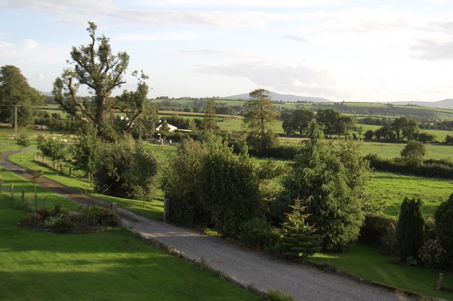 CroghanMountain / peak · 1.2 mi
 ToberelleenHoly well · 1.5 mi
 High HillForest · 1.8 mi
 Fox CovertForest · 1.8 mi
 Saddle HillMountain / peak · 1.9 mi
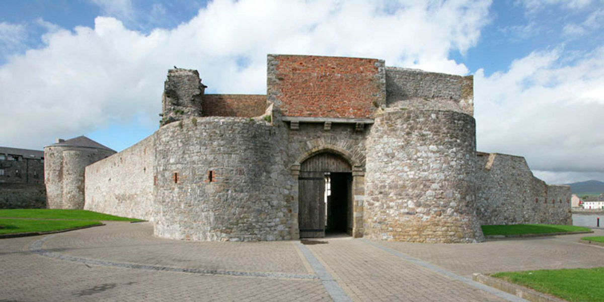 Site of Dungarvan CastleCastle, tower house · 3.2 mi
 Freney's WellSpring · 3.7 mi
 The PoundMemorial · 3.8 mi
Other information
Photo: Credit not shown in the picture search · Rights wording not checked; contact us if this picture should be removed