What is recorded here
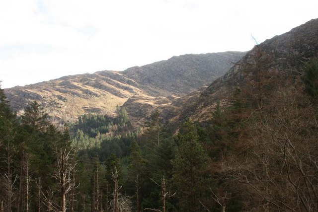
In rough mountain grazing, on a SE-facing slope at the head of a deep rocky valley and on the NE bank of a river. A rectangular area (8.6m N-S; 4.7m E-W) is defined by a drystone wall (T 0.7m; H 0.8m), the upper courses of which have largely collapsed. The lower course, protruding from shallow bog, has many leaning stone slabs set at right angles to the line of the wall. Ferns obscure the interior, which slopes down to the SE.
The above description is derived from 'The Archaeological Inventory of County Cork. Volume 5' (Dublin: Stationery Office, 2009).
Date of upload: 22 December 2009
The monument record does not grant public access. Check the route and ask the landowner before entering private land.
- What survives
- Recorded monument
Places near here
 FoilastookeenMountain / peak · 969 yd
 Hut site in CoomroeHut site · 1018 yd
 Hut site in Curraglass (bantry By.)Hut site · 1586 yd
 BealickMountain / peak · 1.3 mi
 Aireagal Naomh Finbarr [Saint Finbarr's Oratory]church/chapel · 1.3 mi
 European ashEuropean ash · 1.3 mi
 Gougane BarraValley and heritage place · 1.4 mi
 Clapper bridge in Ros An LochaClapper bridge · 1.6 mi
 CaoinkeenCliff · 3.9 mi
 St Finbarr's Pilgrim RouteWalking route · 5.0 mi
 Carriganass CastleCastle · 5.3 mi
 Kealkill stone circleVisitor information · 5.8 mi