What is recorded here
Situated on a fairly level landscape. The cropmark of a circular area (diam. c. 40m N-S) defined by the parch mark of a wide feature (Wth c. 3-4m) is visible on Google Earth (28/06/2018; 14/07/2018) but the perimeter can only be traced S-W-N as it is confused with vehicle tacks N-E-S. It was first reported by Simon Dowling.
See the attached enhanced views from Google Earth (18/06/2018) _2 and (14/07/2018) _1
Compiled by: Michael Moore
Date of upload; 28 February 2020
The monument record does not grant public access. Check the route and ask the landowner before entering private land.
- What survives
- Recorded monument
Places near here
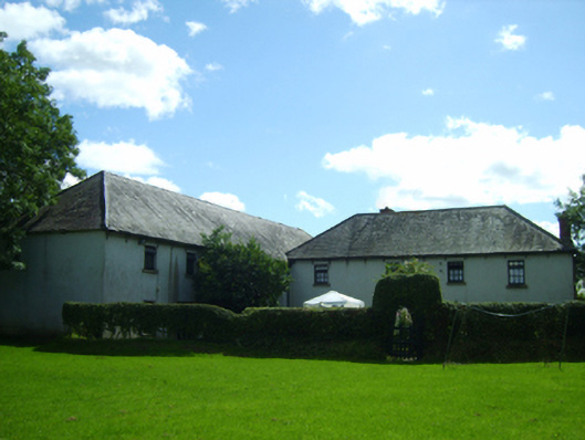 mill (water)mill (water) · 225 yd
 Enclosure in Knockduff (ballaghkeen By., Courtown Ed)Enclosure · 590 yd
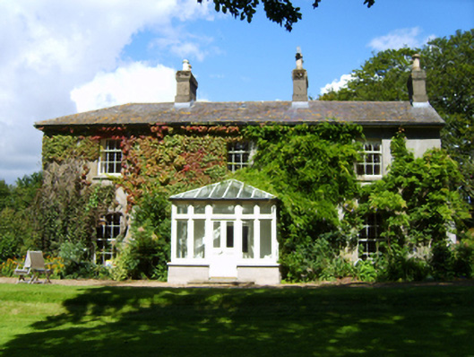 Westmounthouse · 842 yd
 Carriganeagh RockMountain / peak · 1100 yd
 Banoge HillMountain / peak · 1361 yd
 IndicatedFairy fort / earthen ringfort · 1525 yd
 1798 MonumentMemorial · 1.1 mi
 Market HouseHeritage attraction · 1.1 mi
 Kia Ora Mini FarmHeritage attraction · 2.0 mi
 Barnadown WoodWood · 2.5 mi
 Ballingarry WoodForest · 3.5 mi
 Saint Brigid's WellSpring · 6.8 mi