
What is recorded here
Located on a slight NW-facing slope. The cropmark of a circular enclosure (diam. c. 25m) defined by a single fosse is visible on Google Earth (28/06/2018; 14/07/2018). There is an entrance gap (Wth c. 3m) at ENE and the ring-ditch (WX012-039002-) is c. 3m outside the perimeter at E. The enclosure is cut by the cropmark of two parallel NNW-SSE field drains associated with an unmapped field bank E of the centre and the cropmark of a field drain runs ENE from these at the S edge of the enclosure. It was first reported by Catherine McLoughlinn.
See the attached view from Google Earth (14/07/2018)
Compiled by: Michael Moore
Date of upload: 30 March 2020
The monument record does not grant public access. Check the route and ask the landowner before entering private land.
- What survives
- Recorded monument
Places near here
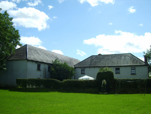 mill (water)mill (water) · 365 yd
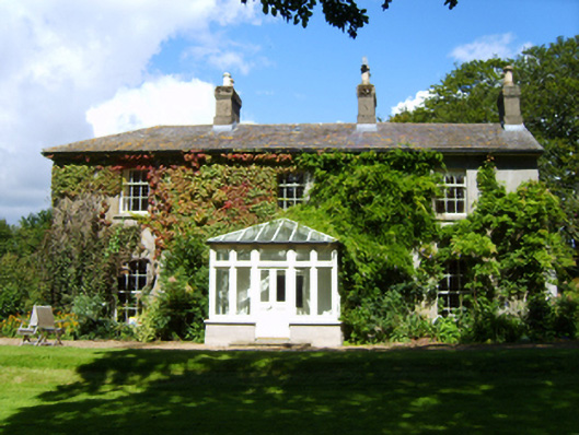 Westmounthouse · 429 yd
 IndicatedFairy fort / earthen ringfort · 994 yd
 Fulacht fia in Ramstown LowerFulacht fia · 1305 yd
 Market HouseHeritage attraction · 1495 yd
 1798 MonumentMemorial · 1569 yd
 Carriganeagh RockMountain / peak · 1664 yd
 Banoge HillMountain / peak · 1672 yd
 Kia Ora Mini FarmHeritage attraction · 1.7 mi
 Barnadown WoodWood · 2.8 mi
 Ballingarry WoodForest · 3.3 mi
 Saint Brigid's WellSpring · 6.8 mi
Other information
Photo: Credit not shown in the picture search · Rights wording not checked; contact us if this picture should be removed