
What is recorded here
Depicted as a circular feature on the 1839 ed. of the OS 6-inch map and as a circular hachured feature, perhaps with a bank, in the grounds of Marlsfield House on the 1925 ed. Situated on a rise in a low-lying area with a NE-SW stream c. 20m to the NW. This is a raised oval area (dims. 43m N-S; 34m E-W) defined by a scarp (H 1.2m) that is used as a tennis court, with slight traces of bank (Wth c. 1.5-2m; int. H 0.2m) on the permieter N-E-S.
The above description is derived from the published 'Archaeological Inventory of County Wexford' (Dublin: Stationery Office, 1996). In certain instances the entries have been revised and updated in the light of recent research.
Compiled by: Michael Moore
Date of upload/revision: 12 April, 2012
The monument record does not grant public access. Check the route and ask the landowner before entering private land.
- What survives
- Recorded monument
Places near here
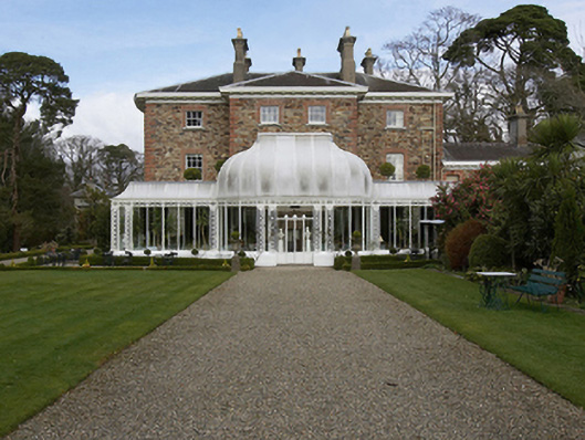 Marlfield Househouse · 98 yd
 KilnKiln, corn-drying · 910 yd
 Enclosure in Knockduff (ballaghkeen By., Courtown Ed)Enclosure · 994 yd
 Market HouseHeritage attraction · 1549 yd
 Fulacht fia in Ramstown LowerFulacht fia · 1.0 mi
 1798 MonumentMemorial · 1.1 mi
 Banoge HillMountain / peak · 1.2 mi
 Kia Ora Mini FarmHeritage attraction · 1.2 mi
 Carriganeagh RockMountain / peak · 1.4 mi
 Holm OakHolm Oak · 2.1 mi
 Courtown WoodsWood · 2.2 mi
 Saint Brigid's WellSpring · 7.2 mi
Other information
Photo: Credit not shown in the picture search · Rights wording not checked; contact us if this picture should be removed