What is recorded here
Excavated (E3490) during 2005 by T. Breen as part of Site 26 at Raheenagurren West, which was one of the excavations undertaken in advance of the construction of the N11 Arklow-Gorey link-road. Situated in a low-lying, flood-prone area which had an ancient NW-SE water course (Wth c. 5.5m; D 0.6m) running through it. Three kilns were uncovered in a concentrated group. One (diam. 1.75m x 1.6m; D 0.52m) with a flue (Wth 0.52m) extending S from it produced evidence of cereals and partially cut the bowl of a second kiln to the E, which was more amorphous. A third kiln was partly stone-lined and had been re-constructed during its lifetime. The kilns are containted within a C-shaped enclosure (C c. 7m) defined by a fosse or gully (Wth 0.7m; D 0.33-0.5m) S-W-NE which produced 18 pieces of debitatge. The fulachta fia (WX012-034004-; WX012-034005-) are c. 15m to the S and the excavated features (WX012-034007-) are c. 30m to the N. (Breen 2008a, 2008, 7-10)
Compiled by: Michael Moore
Date of upload: 13 April, 2012
The monument record does not grant public access. Check the route and ask the landowner before entering private land.
- What survives
- Recorded monument
Places near here
 Enclosure in Knockduff (ballaghkeen By., Courtown Ed)Enclosure · 739 yd
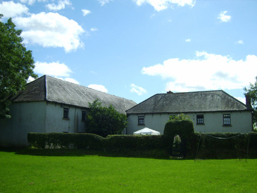 mill (water)mill (water) · 813 yd
 IndicatedFairy fort / earthen ringfort · 910 yd
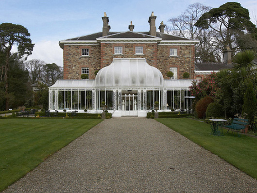 Marlfield Househouse · 931 yd
 Banoge HillMountain / peak · 1171 yd
 Carriganeagh RockMountain / peak · 1601 yd
 Market HouseHeritage attraction · 1.2 mi
 1798 MonumentMemorial · 1.3 mi
 Kia Ora Mini FarmHeritage attraction · 1.5 mi
 Holm OakHolm Oak · 2.0 mi
 Courtown WoodsWood · 2.1 mi
 Saint Brigid's WellSpring · 7.2 mi
Other information
Photo: Credit not shown in the picture search · Rights wording not checked; contact us if this picture should be removed