What is recorded here
Enclosure in Coolnapisha is a 17m oval cut into a steep Limerick slope, its rock-chased edges and levelled bank still holding shape beside a burial ground 120m away. It may have been a small ritual or domestic place, built large enough to stand inside and visible across the pasture. People may have gathered there for seasons, disputes, birth or death, using the made-flat ground as a room without walls.
On a steep E-facing slope, in pasture with good views from NE-E-S. Burial ground (LI024-027----) lies 120m to NW. Not depicted on OSi historic maps. Monument surveyed by the ASI in 2008 and described as an oval-shaped area (17m N-S; 13m E-W) defined by a counterscarp (Wth 5.0m; H 2.0m) cut into rock outcrop from SW-W-NW, with the remains of a levelled bank visible from NW-N-NE and by a scarp (Wth 5.5m; H 1.5m) from NE-E-SW. The monument has been raised from NE-E-SW to compensate for hillslope and to provide a level interior. Monument is visible as an oval-shaped, scrub-covered earthwork on OSi orthophoto taken 2005-2012, on Digital Globe orthoimage taken 2011-2013 and on Google Earth orthoimage taken 28/06/2018.
See attached Google Earth orthoimage taken 28/06/2018.
Compiled by: Alison McQueen and Vera Rahilly
Date of upload: 12 October 2020
The monument record does not grant public access. Check the route and ask the landowner before entering private land.
- What survives
- Recorded monument
Places near here
 Kilmore Burial GroundBurial ground · 152 yd
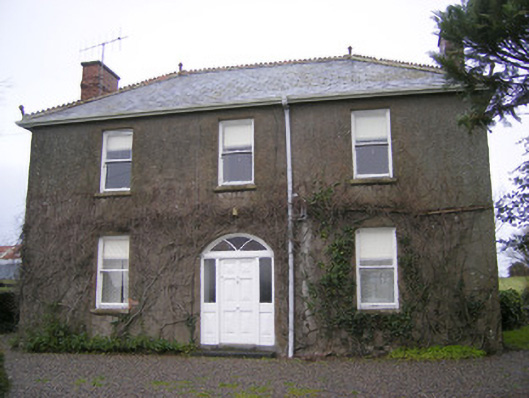 Foxfieldhouse · 638 yd
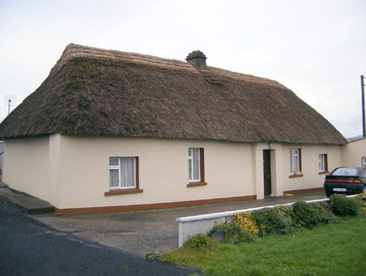 Historic buildingOfficially recorded historic building · 718 yd
 BarrowBarrow, stepped barrow · 918 yd
 ToberagaddySpring · 1.4 mi
 Kilduff CastleCastle · 1.5 mi
 Kilduff Castle (in ruins)Castle, tower house · 1.5 mi
 KnockseefinMountain / peak · 2.9 mi
 Oola HillMountain / peak · 3.6 mi
 St. Patrick's WellSpring · 5.3 mi
 Flat cemetery in Knockainy WestFlat cemetery · 9.6 mi
 Shandangan Bridgebridge · 853 yd