What is recorded here
In pasture, on level ground. Shown as roughly ovel enclosure (diam. c. 40m E-W; c. 30m N-S) on 1842 OS 6-inch map. Levelled; no visible surface trace.
The above description is derived from the published 'Archaeological Inventory of County Cork. Volume 2: East and South Cork' (Dublin: Stationery Office, 1994). In certain instances the entries have been revised and updated in the light of recent research.
Date of upload/revision: 14 January 2009
The monument record does not grant public access. Check the route and ask the landowner before entering private land.
- What survives
- Recorded monument
Places near here
 sign postsign post · 811 yd
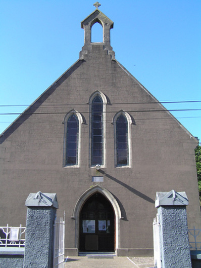 Saint Ita's Roman Catholic Churchchurch/chapel · 873 yd
 Glebe IslandIslet · 1.3 mi
 Inchiquin Castle (in Ruins)Castle, Anglo-Norman masonry castle · 1.5 mi
 Enclosure in AghavineEnclosure · 1.7 mi
 Lady's WellSpring · 2.0 mi
 Ballymacoda Castle (Site of)Castle, Anglo-Norman masonry castle · 2.6 mi
 Friends Burial GdBurial ground · 2.7 mi
 Town WallHeritage attraction · 3.0 mi
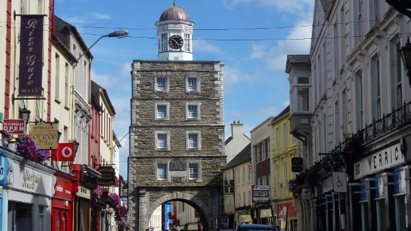 Slí na Sláinte YoughalWalking route · 3.0 mi
 Collegiate Church of Saint MaryHeritage attraction · 3.0 mi
 English hollyEnglish holly · 3.1 mi