What is recorded here
Parch marks (CASAP) shows roughly circular, univallate enclosure (diam. c. 30m), set above scarps leading down to tributary of Womanagh river. Marks in interior possibly indicating Man-made underground passages; one abutting S fosse, one to W. Enclosure surrounded by a narrow fosse, concentric with banks to S, to W part of a larger straight line trending SW-NE and extending almost into N field fence, to N curving into an arc c. 20m from fort, from W straight side to field fence abutting enclosure to E.
Parch marks (CASAP) shows roughly circular, univallate enclosure (diam. c. 30m), set above scarps leading down to tributary of Womanagh river. Marks in interior possibly indicating Man-made underground passages; one abutting S fosse, one to W. Enclosure surrounded by a narrow fosse, concentric with banks to S, to W part of a larger straight line trending SW-NE and extending almost into N field fence, to N curving into an arc c.…
From the National Monuments Service (Archaeological Survey of Ireland) record CO078-030
The monument record does not grant public access. Check the route and ask the landowner before entering private land.
- What survives
- Recorded monument
Places near here
Photo credits
- National Inventory of Architectural Heritage
- Towel401, Wikimedia Commons · CC BY-SA 4.0
- The Speckled Bird, Wikimedia Commons · CC BY-SA 4.0
- Sitomon, Wikimedia Commons · CC BY-SA 2.0
- Robert Ashby, Geograph · CC BY-SA 2.0
- john berry, Geograph · CC BY-SA 2.0
 Aghavine HouseHouse · 444 ydInchiquin Castle (in Ruins)Castle, Anglo-Norman masonry castle · 1.1 miGlebe IslandIslet · 1.1 mi
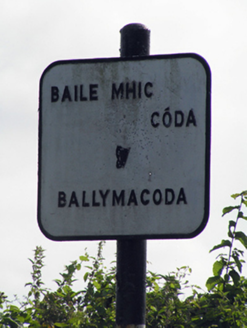 sign post1.2 miBallymacoda Castle (Site of)Castle, Anglo-Norman masonry castle · 1.3 miGraveyard1.7 miEnclosure in BallymacodaEnclosure · 2.0 mi
 Capel IslandIslet · 4.1 mi
 Collegiate Church of Saint MaryHeritage attraction · 4.7 mi
 European Yew4.7 mi
 Garryvoe BeachBeach / strand · 4.9 mi
 Ferry PointViewpoint · 5.1 mi
More archaeology and monuments in County Cork · All of County Cork
What do you know about this place?