What is recorded here
Coolcreedan holds a circular enclosure on a prominent rise, its thirty-metre interior marked by a single fosse and two deliberate gaps facing east and west. The earth still shadows the shape beneath passing clouds, waiting for someone to walk the hidden line and discover whether the gaps aligned with sunrise, moonrise or the flight of local birds. Cailliere saw the pattern before most others, but the land has kept its own secret since before human memory.
Situated on a locally prominent rise in a gently undulating landscape. The cropmark of a circular enclosure (int. diam. c. 30m) defined by a single fosse (Wth c. 2-4m) with a wide gap (Wth c. 8m) at ENE and another (Wth c. 6m) at W is visible on Google Earth (21/07/2021). It is also visible on Google Earth (29/06/2021) and was first reported by Jean Charles Caillére.
See the attached enhanced vew from Googel Earth (21/07/2021)
Compiled by: Michael Moore
Date of upload: 21 October 2021
The monument record does not grant public access. Check the route and ask the landowner before entering private land.
- What survives
- Recorded monument
Places near here
 Enclosure in CoolcreedanEnclosure · 609 yd
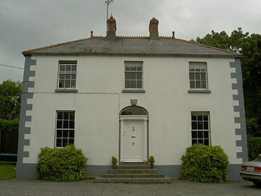 Hollow Househouse · 923 yd
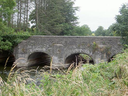 Castlering Bridgebridge · 1039 yd
 The Whiite CrossCross · 1298 yd
 CastleCastle, motte and bailey · 1374 yd
 MoatCastle, motte · 1.3 mi
:no_upscale()/cdn.vox-cdn.com/uploads/chorus_asset/file/25593391/County_Louth_6th.jpg) LouthMountain / peak · 1.3 mi
LouthMountain / peak · 1.3 mi BallybarrackMountain / peak · 4.2 mi
 Rabbit BurrowWood · 5.1 mi
 Photo GalleryHeritage attraction · 5.3 mi
 Dundalk CentralHeritage attraction · 5.3 mi
 Maid of ErinMemorial · 5.8 mi