
What is recorded here
Cropmark of large subcircular-shaped enclosure (approx. diam. 55m) visible on Google earth aerial imagery with associated field system radiating out from the enclosure.
See attached image taken from Google Earth aerial photographs taken 28/06/2018.
Compiled by: Caimin O'Brien based on details provided by Seán Sourke
Date of upload: 02 April 2019
The monument record does not grant public access. Check the route and ask the landowner before entering private land.
- What survives
- Recorded monument
Places near here
 Enclosure in Timahoe WestEnclosure · 659 yd
 EnclosureEnclosure, large enclosure · 1287 yd
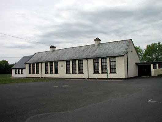 Saint Mary's Girls' National Schoolschool · 2.7 mi
 Catholic Church of the Immaculate Conceptionchurch/chapel · 2.7 mi
 Blackwood Castle (in ruins)Castle, tower house · 2.9 mi
 The Grill ShackHeritage attraction · 3.2 mi
 Horse-chestnutHorse-chestnut · 3.3 mi
 Ballynafagh Bog Special Area of ConservationNature reserve · 3.5 mi
 The Kildare MazeHeritage attraction · 3.7 mi
 CastleCastle, unclassified · 3.9 mi
 Grand Canal WayVisitor information · 4.0 mi
 9/11 MemorialMemorial · 4.3 mi
Other information
Photo: Credit not shown in the picture search · Rights wording not checked; contact us if this picture should be removed