
What is recorded here
This is the record for the palisade enclosure partially excavated by Goorik Delaene (E3254) on the N11 road improvement scheme. This was the most extensive feature on the site. More charcoal was identified in the north of the feature, indicating possible burnt remains of timbers. The feature has been interpreted as a possible enclosing palisade. (Dehaene 2009t)
Compiled by: Denis Power
Date of upload: 17 January 2013
The monument record does not grant public access. Check the route and ask the landowner before entering private land.
- What survives
- Recorded monument
Places near here
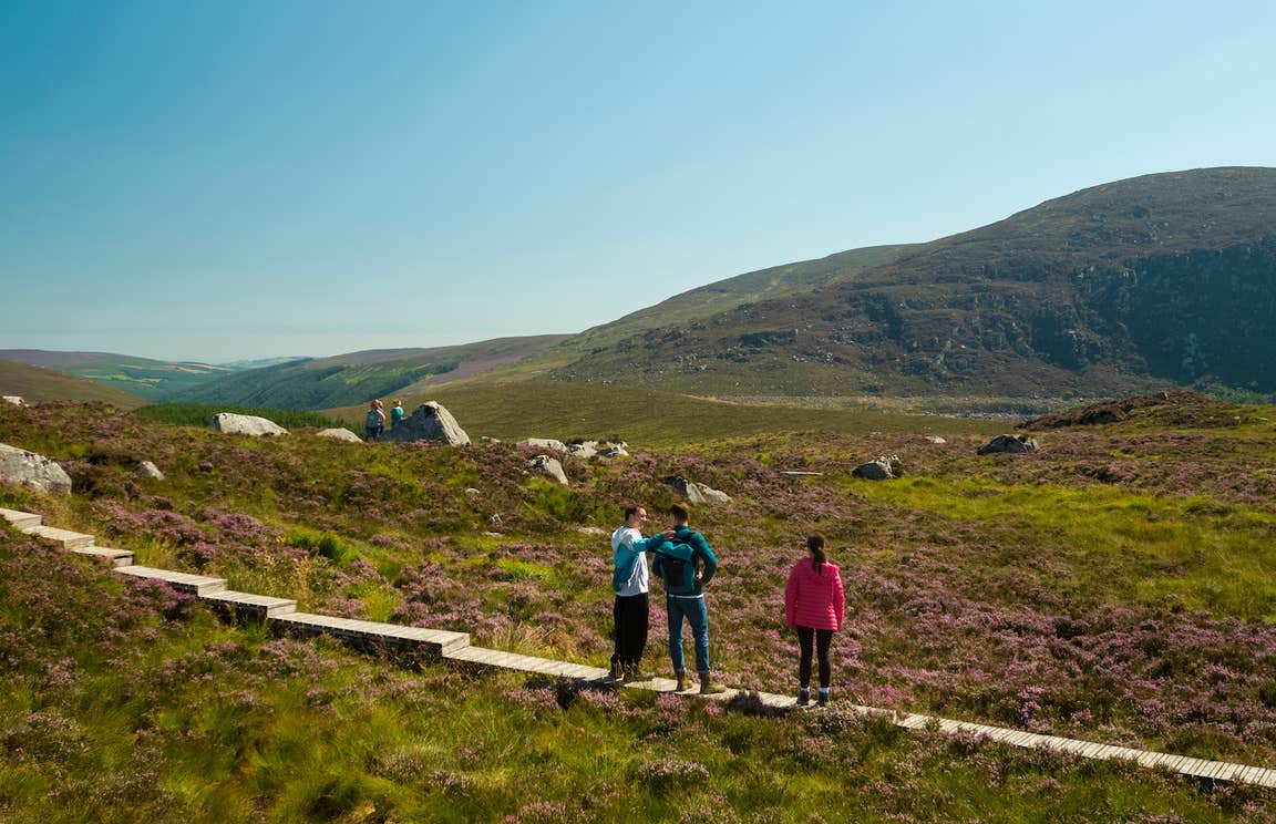 Enclosure in BallygonnellEnclosure · 1206 yd
 Enclosure in Ballinteskin (arklow By.)Enclosure · 1550 yd
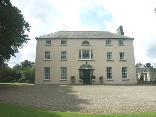 Ballymoney Housecountry house · 1.1 mi
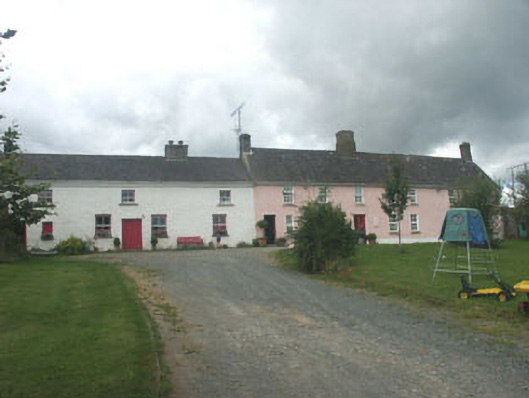 Ballymurrin Househouse · 1.2 mi
 European hornbeamEuropean hornbeam · 2.5 mi
 European YewEuropean Yew · 2.5 mi
 CastleCastle, unclassified · 3.0 mi
 Round MountCastle, motte · 3.1 mi
 Kilpoole BeachBeach / strand · 3.5 mi
 Magheramore BeachBeach / strand · 3.5 mi
 Carrick MountainMountain / peak · 3.5 mi
 Glen Beach Cliff WalkWalking route · 3.8 mi
Other information
Photo: Credit not shown in the picture search · Rights wording not checked; contact us if this picture should be removed