What is recorded here
Situated on a gentle N/NE-facing slope at the foot of steeper ground. Circular area (diam. 25m) defined by an earth and stone bank (Wth 2m; int. H 0.5m; ext. H 0.7-1.2m). At E the bank has drystone facing and is incorporated into a field boundary while at W a good portion of the site has recently been destroyed. The entrance (Wth 1m) is at the NE. No indication of an external fosse or internal features.
The above description is derived from the published 'Archaeological Inventory of County Wicklow' (Dublin: Stationery Office, 1997). In certain instances the entries have been revised and updated in the light of recent research.
Date of upload/revision: 17 December 2008
The monument record does not grant public access. Check the route and ask the landowner before entering private land.
- What survives
- Recorded monument
Places near here
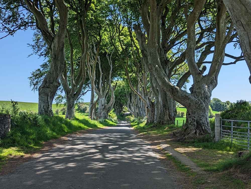 Enclosure in Ballymoney (arklow By., Dunganstown East Ed)Enclosure · 426 yd
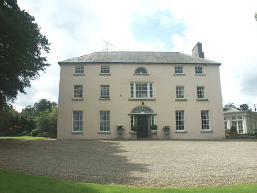 Ballymoney Housecountry house · 536 yd
 Enclosure in Ballydowling (arklow By.)Enclosure · 630 yd
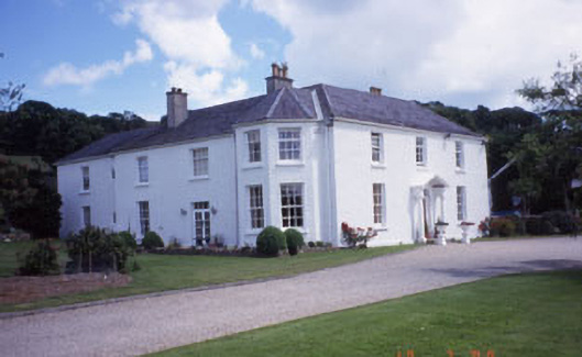 Springfield Househouse · 1228 yd
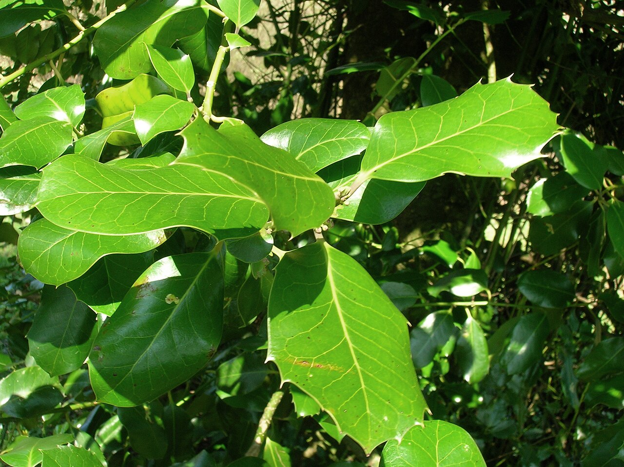 Highclere hollyHighclere holly · 1.3 mi
 European hornbeamEuropean hornbeam · 1.3 mi
 Furzeditch BeachBeach / strand · 2.4 mi
 Magheramore BeachBeach / strand · 2.6 mi
 Round MountCastle, motte · 3.8 mi
 Glen Beach Cliff WalkWalking route · 3.9 mi
 Black Castle (in ruin)Castle, Anglo-Norman masonry castle · 4.0 mi
 Carrick MountainMountain / peak · 4.8 mi