What is recorded here
Coolawaleen holds a subrectangular enclosure sixty metres long on a west-facing slope, its eastern end convex like a breath held before speaking. The bank has levelled into tillage, but the external fosse still marks the boundary through differential growth, and an aerial shadow reveals the complete shape beneath the fields. Bowman measured a single rampart fort on M. O'Connell's land in 1934, describing a four-foot bank and a fosse four feet deep. The interior contains a possible underground passage and another enclosure visible only from above, suggesting the site layered human occupation across centuries rather than marking a single event.
In tillage, on W-facing slope, overlooking Castlemagner Wood to S. Depicted as hachured circular enclosure on 1842 OS 6-inch map; as hachured subrectangular enclosure (c. 60m E-W; c. 48m N-S) on 1905 and 1936 OS 6-inch maps, with corners rounded and E end convex. Levelled; fosse (Wth 2.2m) visible as differential growth pattern N->WSW. Visible in aerial photograph (GSIAP, W408, 03-07-1975) as subrectangular enclosure with enclosing elements overgrown, interior tilled and entrance to E. Visible as cropmark of bank and external fosse in aerial photograph (CASAP, 27-06-1984) of levelled subrectangular enclosure. According to Bowman (1934, 33), single-ramparted fort (diam. 62yd) on M. O'Connell's land, with enclosing bank c. 4ft H and external fosse 4ft D and c. 5ft wide. Possible Man-made underground passage (13349) in interior. Enclosure (13739) visible in interior in aerial photograph (CASAP, 24-07-1989).
The above description is derived from the published 'Archaeological Inventory of County Cork. Volume 4: North Cork' (Dublin: Stationery Office, 2000). In certain instances the entries have been revised and updated in the light of recent research.
Date of upload/revision: 14 January 2009
The monument record does not grant public access. Check the route and ask the landowner before entering private land.
- What survives
- Recorded monument
Places near here
 Enclosure in CastlemagnerEnclosure · 928 yd
 IndicatedHouse, vernacular house · 942 yd
 Man-made underground passage in CloonteensMan-made underground passage · 1031 yd
 Castle Magner (in Ruins)Bawn · 1154 yd
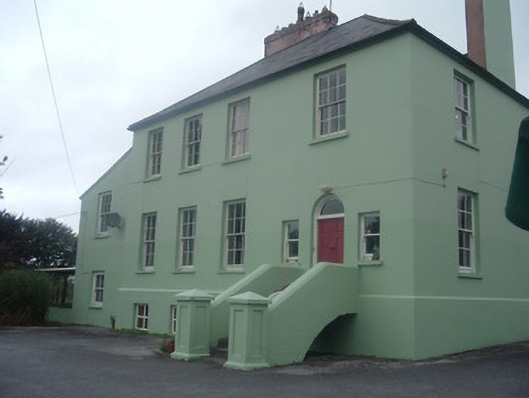 The Old Rectoryrectory/glebe/vicarage/curate's house · 1177 yd
 European YewEuropean Yew · 1.4 mi
 Lohort CastleCastle, tower house · 1.5 mi
 Graveyard in Ballygiblin (duhallow By.)Graveyard · 1.5 mi
 Burial ground in AssolasBurial ground · 1.6 mi
 St Fursey's WellSpring · 2.6 mi
 Mount Hillary - Knightfield LoopWalking route · 3.0 mi
 Mount Hillary - Mount Hillary LoopWalking route · 3.3 mi