What is recorded here
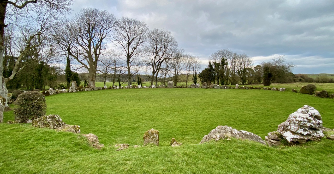
Clear field boundaries and a missing boundary mark an oval enclosure above Kilmurry Church. Its bank, scarp and fosse still trace a place set aside beside pasture, while a farm trackway passes around it. The shape is not grand, but it is exact enough to suggest people valued the difference between inside and outside.
In pasture, atop low hill, c. 50m NE of site of Kilmurry Church (LI028-149---). Roughly oval area (36.5m N-S; 47.5m E-W) enclosed by an earthen bank (int. H 0.6m; ext. H 1.5m) at NNW and from SE->SSE, and defined by scarped edge (H 1.35m; Wth 2.4m) elsewhere, with external fosse (Wth 2.5m; D 0.6m) N->E and for a short section at W. Scarp has been quarried at S and to a lesser extent at N. Linear field boundary runs across base of scarp and bank W->N, truncating the fosse. Farm trackway skirts around S and E sides of site. Field boundary, shown on 1923 OS 6-inch map abutting scarp at E, has been removed. Interior level and under pasture but with some trees growing along perimeter NW->ENE.
Compiled by: Denis Power
Date of upload: 26 August 2011
This remains an important historical record, but the official description says the monument is no longer visible or has been destroyed. The monument record does not grant public access. Check the route and ask the landowner before entering private land.
- What survives
- No visible remains or recorded as destroyed
Places near here
 Kilmurry Church (in ruins)Church · 111 yd
 Partially indicatedEnclosure · 755 yd
 Enclosure in Grange LowerEnclosure · 936 yd
 Grange Househouse · 1356 yd
 CastleCastle, tower house · 2.3 mi
 European ashEuropean ash · 2.5 mi
 Templars Castle (in ruins)Castle, Anglo-Norman masonry castle · 2.6 mi
 St. Kieran's WellSpring · 2.7 mi
 St. Luke's WellSpring · 2.8 mi
 Limerick GreenwayWalking route · 5.6 mi
 Sugar HillMountain / peak · 7.0 mi
 Ballagh MountainMountain / peak · 8.0 mi