What is recorded here
Situated on flat pasture in undulating countryside with earthwork site (TN010-066----) 65m to the NW. Depicted as an antiquity on all editions of the OS 6-inch maps. Shown as a small circular enclosure with traces of an external fosse on the SE side on the revised 1901 ed. OS 25-inch map. Described as a tree-ring of no archaeological significance (OPW file, 1970) and levelled during a land improvement scheme in the 1970s. Not visible at ground level.
The above description is derived from 'The Archaeological Inventory of County Tipperary. Vol. 1 - North Tipperary' compiled by Jean Farrelly and Caimin O'Brien (Dublin: Stationery Office, 2002). In certain instances the entries have been revised and updated in the light of recent research.
Date of upload/revision: 10 January 2012
The monument record does not grant public access. Check the route and ask the landowner before entering private land.
- What survives
- Recorded monument
Places near here
 Whitstone Househouse · 918 yd
 Enclosure in Ballinderry (ardcrony Par.)Enclosure · 1219 yd
 Ballylusky MoatCastle, motte · 1276 yd
 Castle (in ruins)Castle, hall-house · 1483 yd
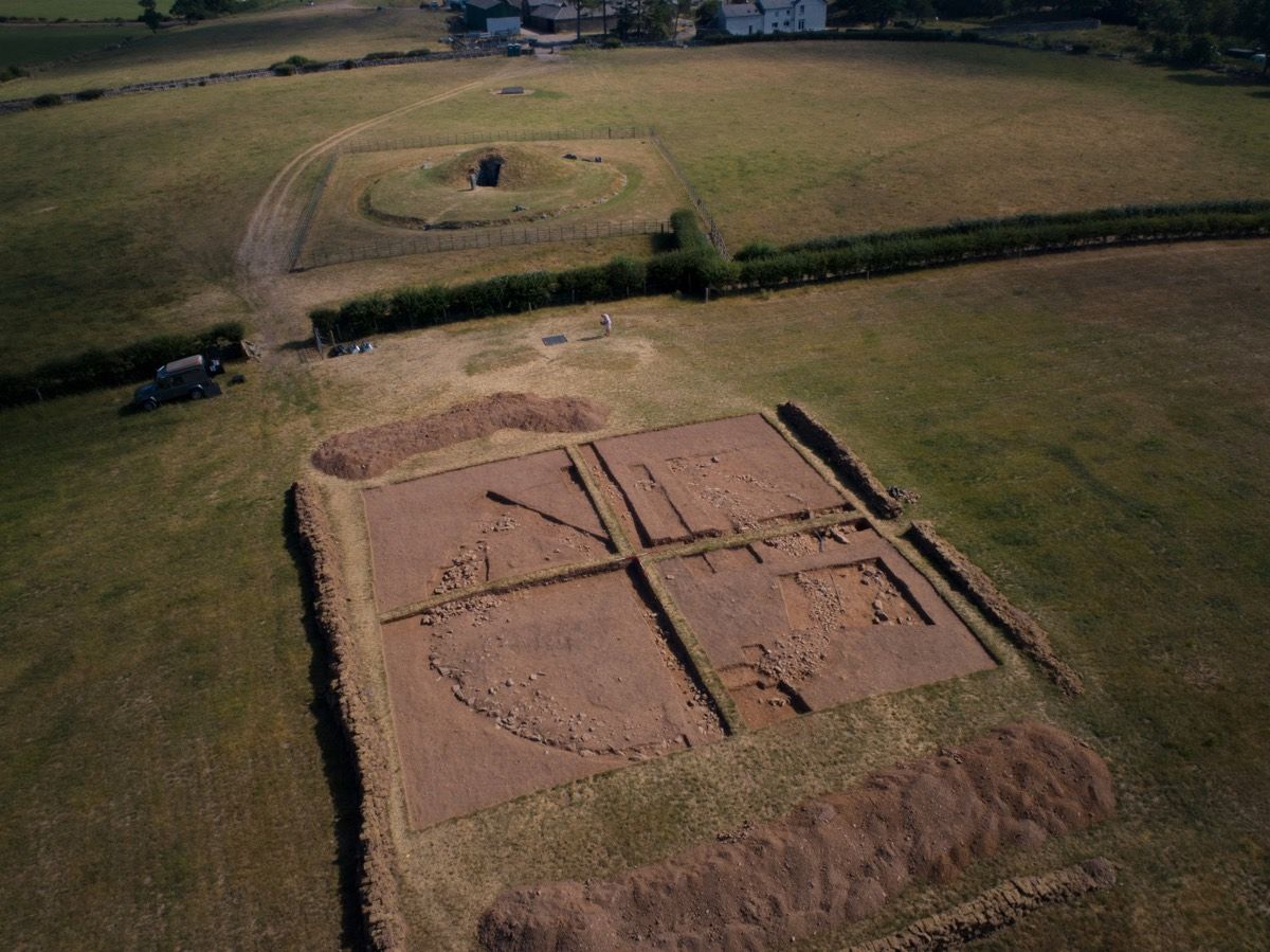 Ardcroney Burial MoundArchaeological place · 1.1 mi
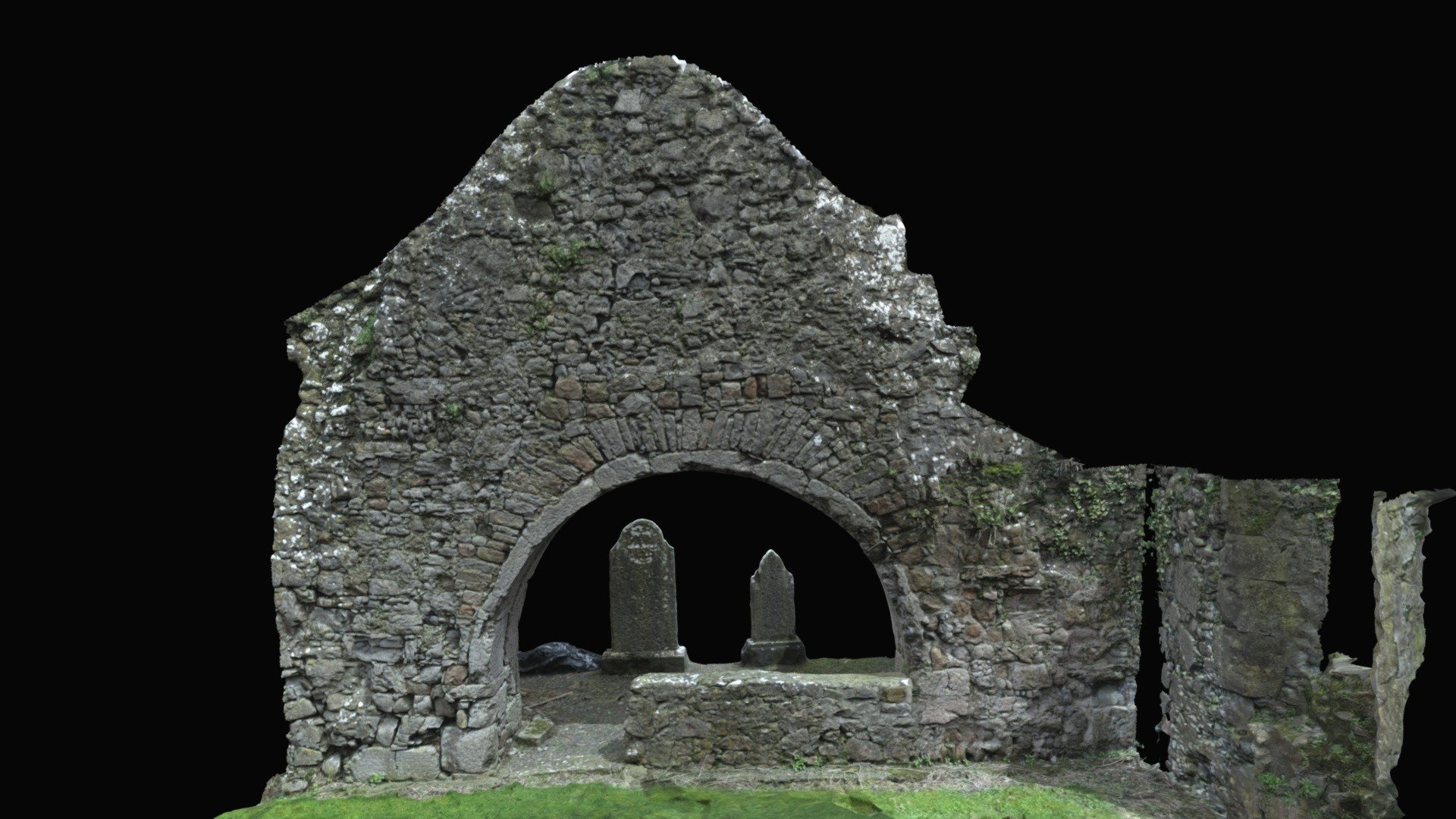 Church (in ruins)Church · 1.3 mi
 Ballycapple WoodForest · 3.0 mi
 Knigh HillMountain / peak · 3.5 mi
 Borris WoodWood · 3.9 mi
 James Devaney MemorialMemorial · 4.0 mi
 MacDonagh HouseMemorial · 4.5 mi
 Thomas MacDonagh Heritage CentreMuseum · 4.5 mi