What is recorded here
Cropmark of oval-shaped enclosure (approx. diam. 30m WSW-ENE X 25m NNW-SSE) visible on Google earth aerial imagery.
See attached image taken from Google Earth aerial photographs taken 28/06/2018.
Compiled by: Caimin O'Brien based on details kindly provided by Faith Bailey.
Date of upload: 20 November 2018
The monument record does not grant public access. Check the route and ask the landowner before entering private land.
- What survives
- Recorded monument
Places near here
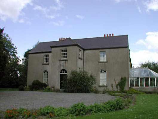 Rathernan Houserectory/glebe/vicarage/curate's house · 1006 yd
 farm housefarm house · 1066 yd
 Kilmeague CastleRuins · 1229 yd
 Grand Canal WayVisitor information · 1.1 mi
 Enclosure in Lowtown (kilmeage South Ed)Enclosure · 1.3 mi
 Bawn in Grangeclare WestBawn · 1.3 mi
 Enclosure in BallintineEnclosure · 1.4 mi
 Hill of AllenMountain / peak · 2.4 mi
 Museum of MotorsportMuseum · 3.3 mi
 Ballynafagh Bog Special Area of ConservationNature reserve · 3.3 mi
 Pollardstown Fen Nature ReserveNature reserve · 4.6 mi
 Bithia Mary CrokerMemorial · 7.5 mi